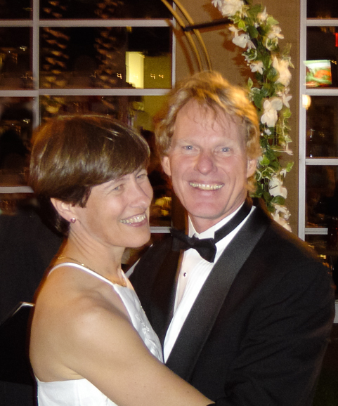
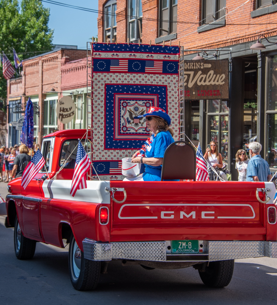
Way back in the Dark Ages of 2004, a long long time ago, back when flip-phones were cool, when “social media” was a phrase no one had heard of and a “big screen TV” was smaller than 40 inches, Mark and I tied the knot.
Hurray for 20 years of wedded bliss!

.
It was a second marriage for both of us, so we didn’t want a traditional wedding. Visiting a Justice of the Peace on Valentine’s Day was just our speed.
Well, it was just our speed until Mark read an ad in the newspaper (yes, there were newspapers back then!) for a big Valentine’s Day celebration taking place at one of the newer and swankier resorts in Phoenix.
The event, “Lover’s Lane on Main,” was happening in the Kierland Commons plaza between all the boutique shops next to the fancy new Westin Resort and Golf Course.
Complete with horse drawn carriage rides, a big band playing romantic favorites of yesteryear outside all evening, and wine tastings and chocolate sampling going on in the boutique shops, the highlight of the event was going to be three weddings.
To top it all off, the three lucky couples getting hitched would receive a one night honeymoon stay at the Westin Resort!
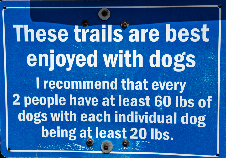
All you had to to do to be one of those happy couples was write a paragraph about why you wanted to be married during this unusual event. So easy!
I got my most poetic thoughts together and wrote a little Harlequin Romance description of how fun it would be to ride down the resort’s Main Street in a horse drawn carriage as a newlywed couple. Lo and behold, we won! We were the 7:30 p.m. wedding. (There was one at 7:00 and another at 8:00).

On Valentine’s Day morning, we showed up at our weekly bike club ride and invited everyone to come to Kierland Commons that evening for our wedding. At the appointed hour, the minister asked that everyone who knew us come forward from the crowd to watch our special moment.
After the magic kiss, we were whisked away in a horse drawn carriage to the Westin Hotel. What fun!
We’d barely gotten settled into our beautiful hotel room when the bellhop knocked on our door and brought in a cart loaded with all kinds of colorful boxes and packages wrapped with bows. It turned out the various boutique shops were sending gifts up to our room!
“This is just like a real wedding!” Mark said, laughing.
At 10:00 pm that night, we flipped on the TV and watched ourselves getting married on Fox10 News! They’d covered the event, filmed our “I do” moment, and interviewed some of our friends. I called the station for a copy of that brief clip, and that became our wedding video!
The next day, when Mark returned his tuxedo, the owner of the tux rental shop asked him, “Do I know you? Are you someone famous? I saw you on TV last night!”
What a total hoot.
A night to remember!
One of the funniest moments happened after our carriage delivered us to the Westin Hotel. The enormous hotel lobby was chock full of people, and as I looked around, I realized I was one of five brides in fancy white wedding dresses in the crowd!
Three of us were slightly older brides (all second marriages) who’d just gotten married outdoors under the little arbor at Lover’s Lane on Main. The two others were younger brides wearing big fluffy dresses with elegant veils and holding bouquets of flowers. They’d just arrived by limo from more traditional ceremonies to host their receptions in the grand ballrooms.
Of course, stars were in our eyes as we gazed at each other and drifted through this incredible evening, and we had no idea what lay in store for us in the coming years.

If someone had said, “You’re going to run off in an RV and have a ball traveling full-time for 13 years and sharing your pics and stories!” we would have laughed and shaken our heads, “No way!”
If they’d added, “You’re going to sail the whole Pacific coast of Mexico and fall in love with Mexican culture,” we would have thought they were crazy.
Looking back at that fabulous kickoff to our married life, we decided this year that we wanted to celebrate our 20th anniversary in a special way.
After tossing around a few ideas, we settled on going to the Hassayampa Inn in Prescott, Arizona, a historic inn in a historic cowboy town that caters to couples in love with Romantic Getaway offerings.
More important, the Hassayampa Inn caters to four legged guests too. That cinched the deal for us!
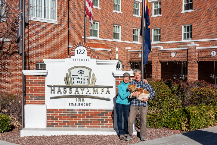
Happy 20 at the Hassayampa.
The Hassayampa Inn was built in 1927, and the owners have kept it as original as possible. The lobby is a big open space with comfy chairs in the middle, arches along each wall, southwestern tile accents and a beautifully decorated ceiling.
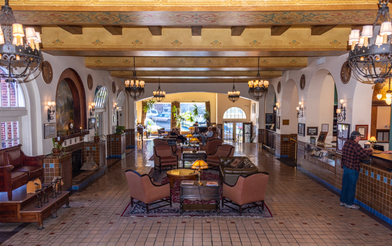
The Hassayampa Inn has a big and inviting common room on the main floor.
A cozy fire was burning in the fireplace throughout our stay.
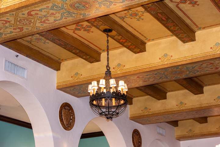
The ceiling is very cool.
A man was playing piano at one end of the room. As soon as we’d taken our bags to our room, we came back downstairs to relax in the cushy chairs, listen to the music and savor a peaceful moment.

Piano music set the mood just right.
Right opposite us we noticed there was a little window with various coffee offerings. Perfect! We promptly indulged, Buddy most of all.
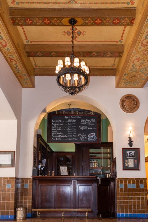
The Territorial Cafe was serving fancy coffees.

Buddy dove into his puppaccino
Guests with dogs can order food from the dining room to be brought up into the lobby common room where there are two dining tables ready to go. They were still serving breakfast at nearly 2:00 in the afternoon, so we made ourselves at home and ordered eggs Benedict and blueberry pancakes.
This was living!

The blueberry pancakes were out of this world!
Buddy promptly stretched out in the sun while we enjoyed our late breakfast at the table. He looked over at one point and said he really liked this 20th anniversary thing!

“Can we have another 20th anniversary next week?!”
We mentioned in passing to our server that this was our 20th anniversary, and she brought us a fabulous complimentary fruit tart with ice cream. How cool is that?!
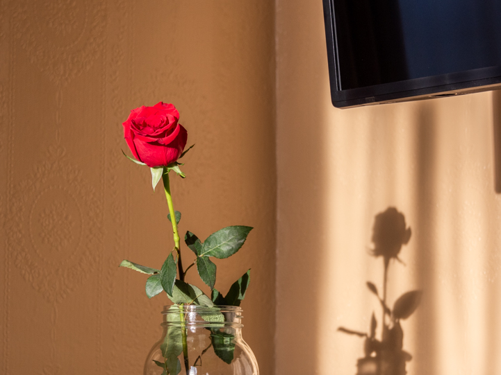
When we checked in, I was given a lovely single long stem rose. Up in our room a bottle of sparkling cider was chilling on ice along with two champagne glasses and a platter of the most delicious homemade chocolate covered fresh strawberries. (Champagne had been an option but we love sparkling cider!)
It was so much fun to be pampered.
If your Arizona travels coincide with an important occasion in your life, consider splurging for dinner or for a night or two at the Hassayampa Inn. When we were traveling full-time by RV and sailboat, the times that we stepped out of our those lives to do something different for a night or two all stand out as being among our best memories (here, here and here).
Me and my shadow.

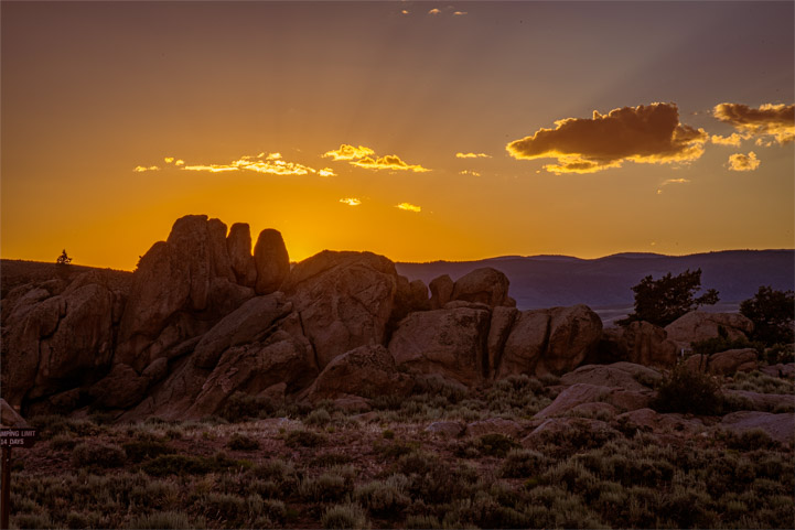
The town of Prescott is a fun blend of old shoot ‘em up cowboy history and modern artsy flair. Doc Holliday and Wyatt and Virgil Earp all hit Prescott’s bars on Whiskey Row and there’s a fantastic modern performing arts theater on the Yavapai College campus.
We roamed the main Courthouse Square at dawn and at dusk and loved seeing the area lit up in shades of pink and orange.
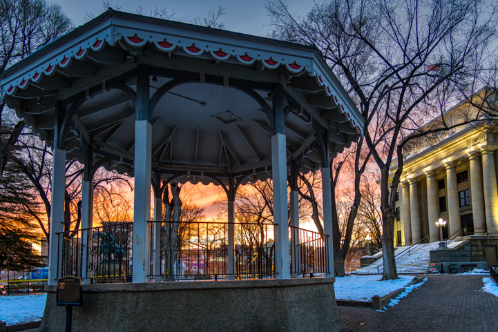
The band stand and Yavapai County Courthouse at dawn.

Looking up Gurley Street at sunrise. The Hassayampa Inn is the further building on the left

Here’s the above photo converted into framed a painting via Photoshop!
Mark even snuck out an hour after sunset to get a fabulous photo of the Hassayampa Inn all lit up in its evening finest.

Hassayampa Inn at night
Prescott sits at a much higher elevation than the Sonoran Desert areas of Phoenix, Tucson and Yuma, so they have four distinct seasons. The heavens had just dumped two feet of snow on the town in the weeks before we arrived, first one foot of snow and then a second foot of snow a few days later.
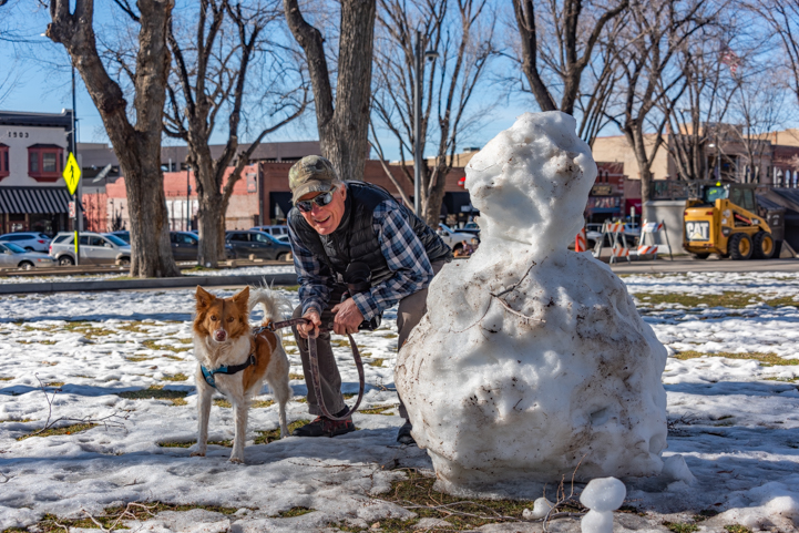
We’d arrived in Prescott right after back-to-back snow storms!
Although it was cold outside, the bars on Whiskey Row were filled with laughter and warmth.
We stopped at Matt’s Saloon, but Buddy is still underage, so we could only look in through the door.
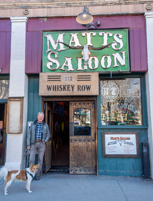
Buddy’s too young for a brewski…
I just had to check out the swinging saloon doors, though. They’re right out of an old Western. What fun!

I’ve always loved swinging saloon doors!
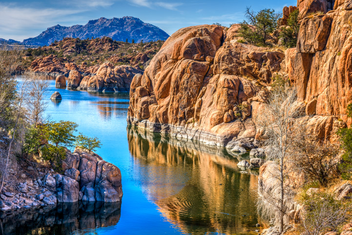
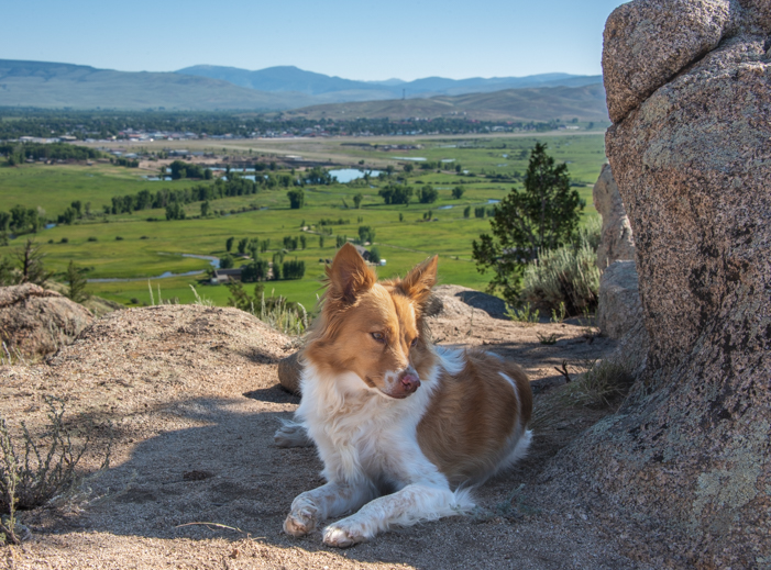
Just beyond the north edge of town, there is an incredible outcropping of fantastic rounded granite boulders next to Watson Lake known as The Dells. We had explored this area a little bit last spring when we took our trailer to Lynx Lake, and we were excited to explore a little more once again.
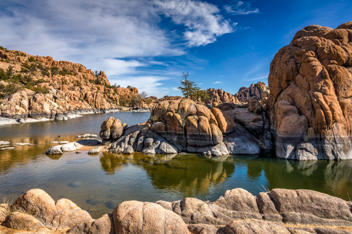
The Dells in Prescott

The easiest place to get into the heart of The Dells is at the main boat ramp in Watson Lake Park, so we made a bee-line there.
Buddy recognized the parking area before we were parked, and he started scrambling to get out of the car before the door was open!
This has to be one of his all-time favorite places.

Dog heaven
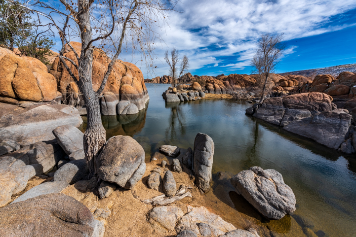
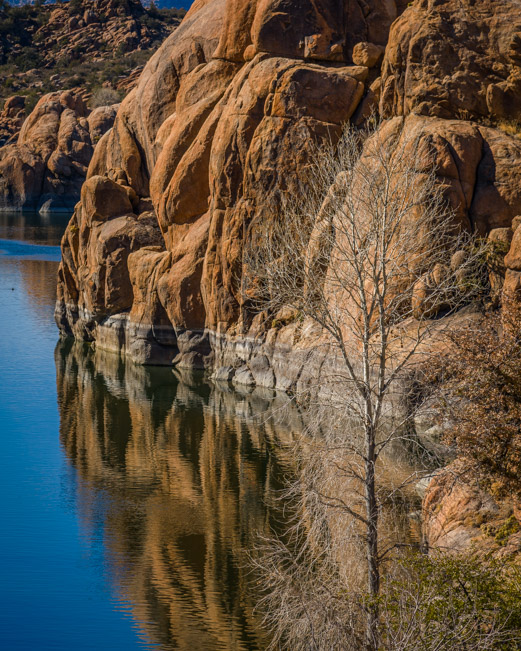
The Dells is a wonderland of boulders and water.

.
We had hoped to catch The Dells with some snow on them. Most of the rocks were bare, but we did find a few spots with snow.
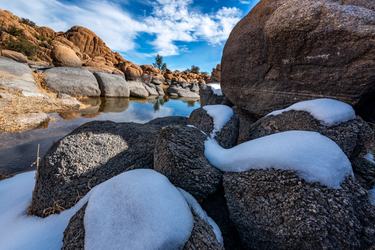
Curvy snow.
On another day we hiked the Peevine Trail. This is a rails-to-trails path that goes along the eastern side of the lake.
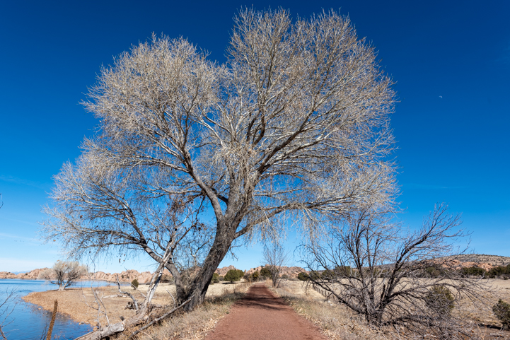
Peevine Trail is a wonderful rails-to-trails path
The first 1/2 mile has no views, but then all of a sudden you find yourself walking between fabulous rock formations and cliffs. You can just imagine a train making its way between the cliffs that were carved away just so it could pass. What a score it would have been for an engineer or conductor to be assigned that route!

Views everywhere.
A little further on we caught a glimpse of a small cove that is just exquisite.
View from the Peevine Trail.
.
On our way back Buddy plopped down in a shaded snow patch to cool off. He was one happy dog!
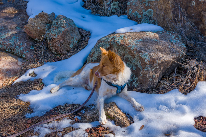
Buddy cools his jets in the snow.
And so were we. Our little excursion to Prescott was the perfect getaway to commemorate our beginnings and to give us inspiration for our RV travels a few months from now.

.

Subscribe
Never miss a post — it’s free!
More info:
- The Wedding Song (There Is Love) – by Paul Stookey of Peter, Paul and Mary
- Hassayampa Inn – Official Website
- Prescott, Arizona – prescott.com
- The Dells – allprescott.com
Other milestones in our journey:
- 10 Years of Full-time RVing and Sailing!! – The Early Years…
- 10 Years of Life on the Road by RV and Sailboat – The 2nd Half!
- 20 Years Later! Hassayampa Inn and The Dells
- 9th Anniversary of Full-time Travel by RV and Sailboat – Reflections!
- Buddy – A Journey in Sprit
- Greetings! Long Time No See!!
- Groovy – How We Came to Own a Sailboat
- Lessons Learned in the Full-time RV Lifestyle: Tips & Ideas!
- Living, Loving and Perfecting “The Dream”
- Untying The Lines – A nautical send-off
- Why Do It? – Why We Left Home to Live in an RV!
Our most recent posts:
- Buckskin Mountain State Park – Fun on the Colorado River! 01/31/26
- How to Install Starlink Gen 3 in an RV? Use the Speedmount! 08/07/25
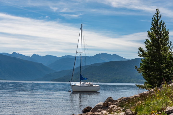
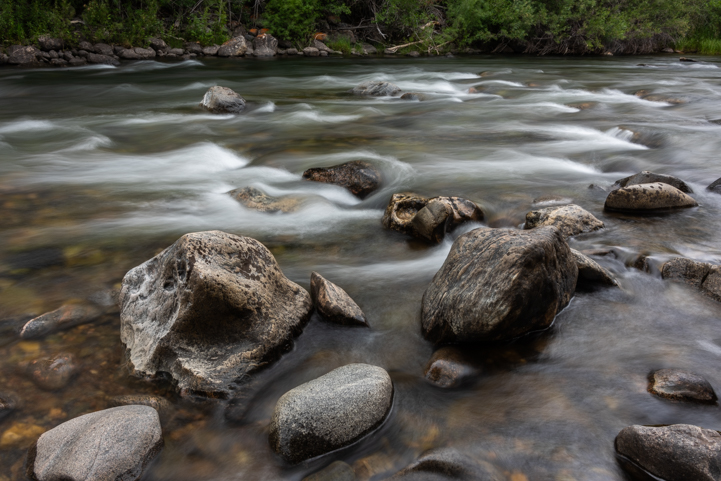
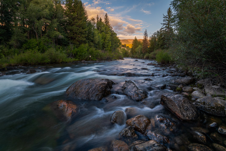
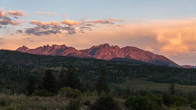
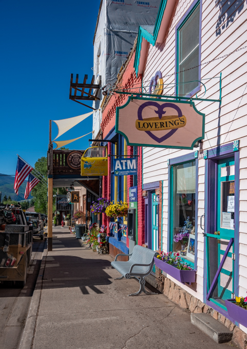
- Escape to Paradise – Rocky Mountain Magic! 08/01/25
- Is Forest River a Good RV? Well Built? Here’s Our Experience 06/20/25
- Sunset Crater Nat’l Monument – Lava & Camels at Bonito CG! 06/06/25
More of our Latest Posts are in the MENU.
New to this site?
Visit RVers Start Here to find where we keep all the good stuff. Also check out our COOL NEW GEAR STORE!! *** CLICK HERE *** to see it!
<-Previous || Next->


![class="size-full wp-image-67722" /> .[/caption]](https://roadslesstraveled.us/blog/wp-content/uploads/2023/09/00-721-Alpine-lake-at-Rocky-Mountain-National-Park-seen-from-Trail-Ridge-Road.jpg)