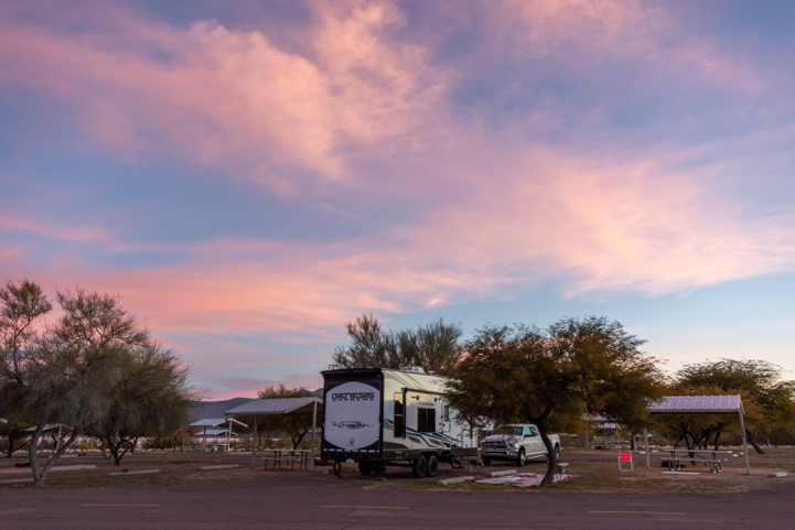
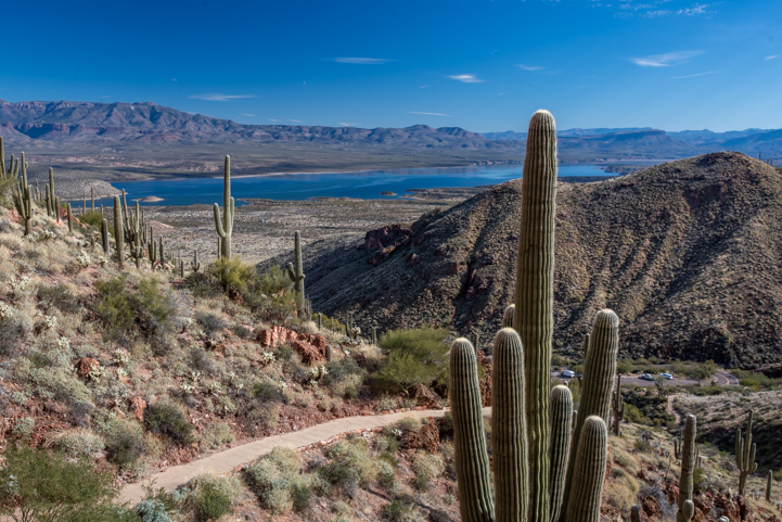
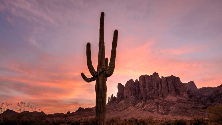
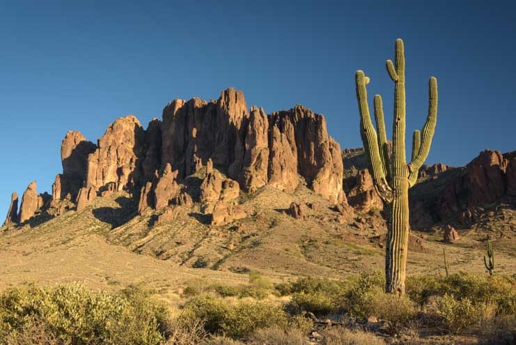
March 2024 – Lost Dutchman State Park is one of Arizona’s most beautiful and most loved state parks. Nestled up against the towering cliffs of the Superstition Mountains, it is a showcase for stunning Sonoran Desert scenery, and it has a lovely RV campground with paved loops that is ideal for both RVs and tents!

.
All that wondrousness and popularity makes it very hard to get a campsite, though. Years ago, the campground was first-come-first-serve. But every morning from Fall until Spring a line of RVs would be waiting at the gate to get a campsite. Now all the campsites are reservable a year in advance, and you have to be online at the stroke of midnight if you want a specific site on a specific date!

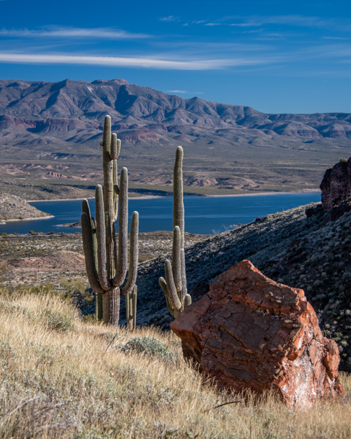
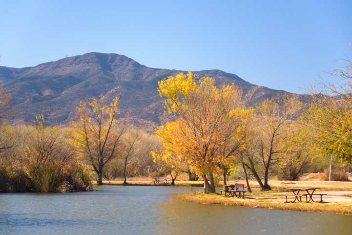
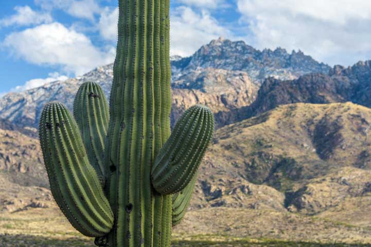
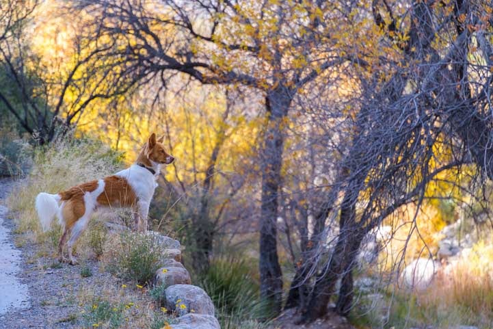
Lost Dutchman State Park is nestled up against the Superstition Mountains.

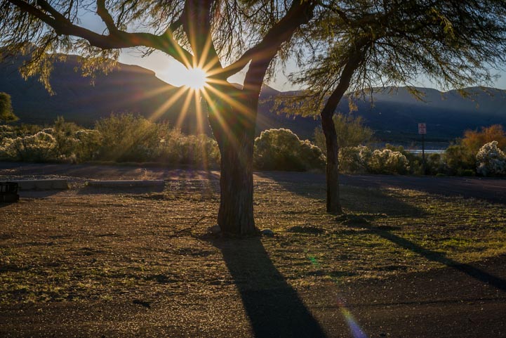
The sun peaks over the mountains at dawn.
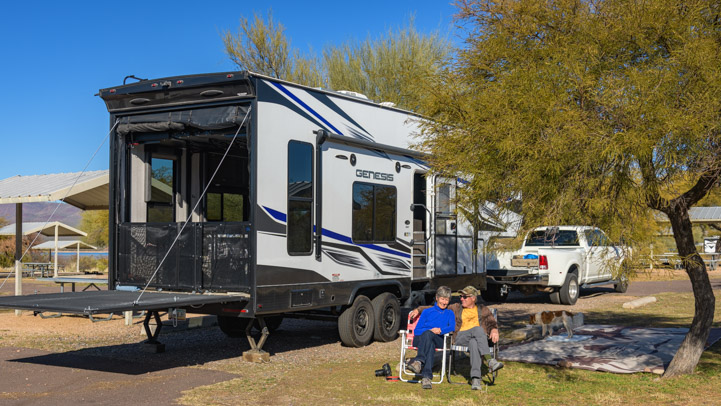
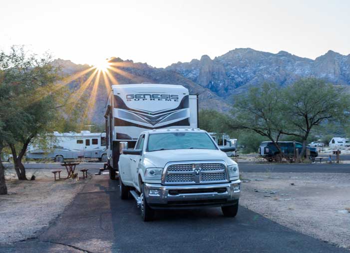
Fortunately, campers’ plans change. We snagged a cancellation for a pretty campsite during the prime spring season, and we enjoyed a wonderful weeklong stay. Many of the campsites are fairly large and private, and we had a nice view out the back end of our toy hauler.

Sunshine pours into our rig — Nice!
The view out the windows and front door wasn’t bad either!

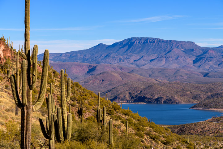
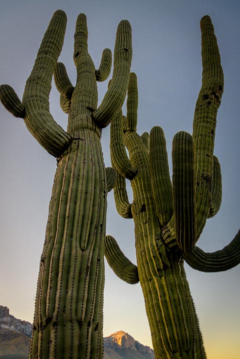
The stunning Superstitions are visible from all over the campground.
When we arrived, we had beautiful summery weather too — so welcome in mid-March!

Summertime in March!
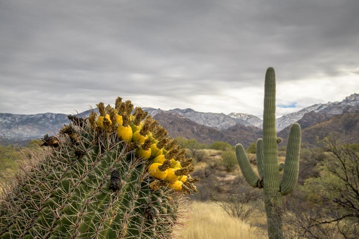
We had hoped to find Lost Dutchman State Park full of wildflowers. It is considered one of the best spots to go wildflower hunting in Arizona’s Sonoran Desert.
The winter rains had other plans, however, and although we found a few patches of flowers here and there, they weren’t as copious as they’re known to be. We were a week early!

We saw patches of flowers but heard the flowers really popped a week after we left!
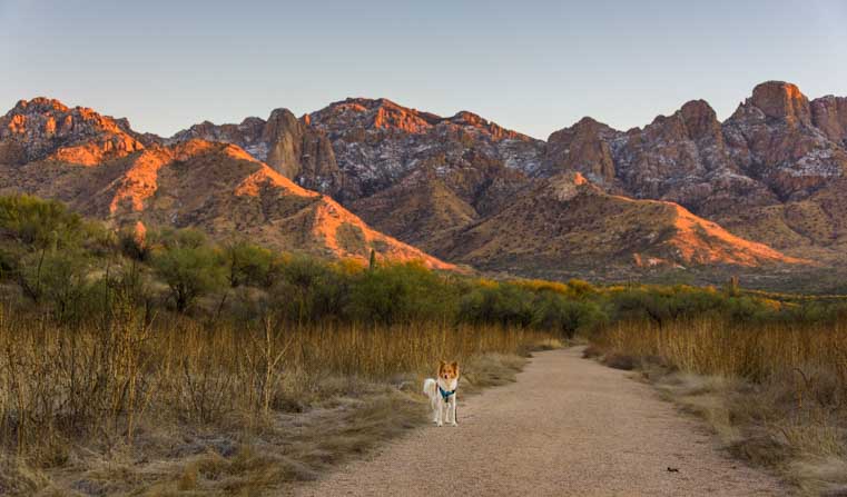
Lost Dutchman is an incredibly scenic park, though, both with and without flowers. On the first night we had a clear sky studded with bright stars. Dawn the next morning brought a soft glow around the Superstition Mountains.

Starry starry night.

The sun rose behind the mountain and cast a beautiful halo around it.
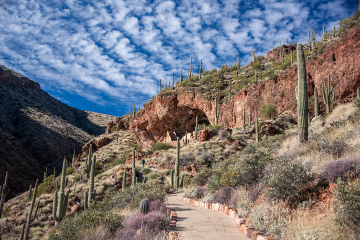
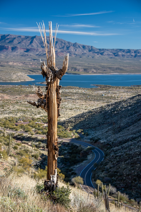
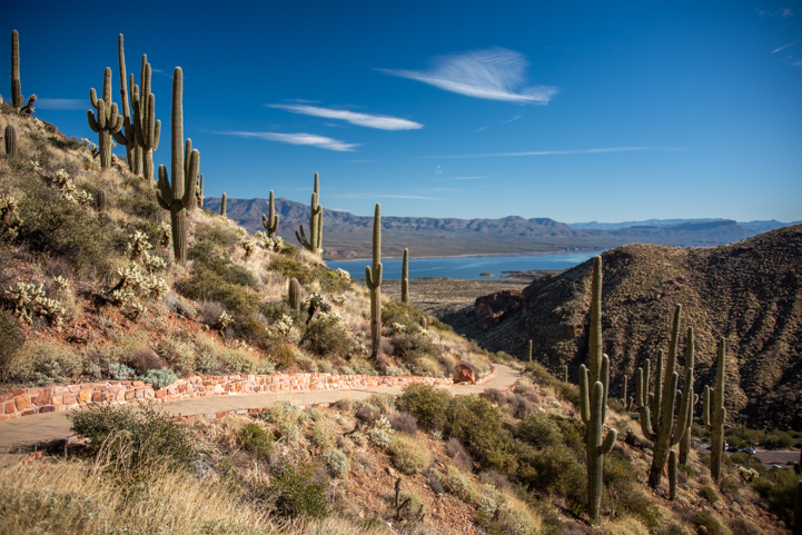
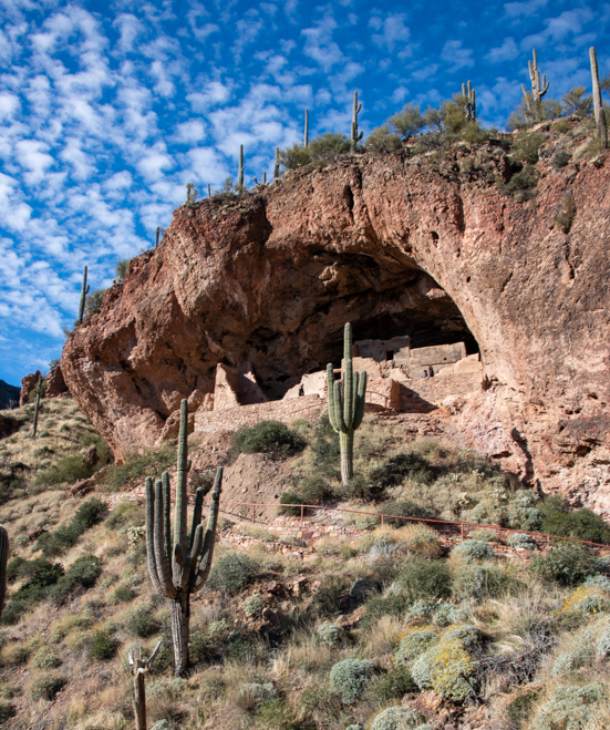
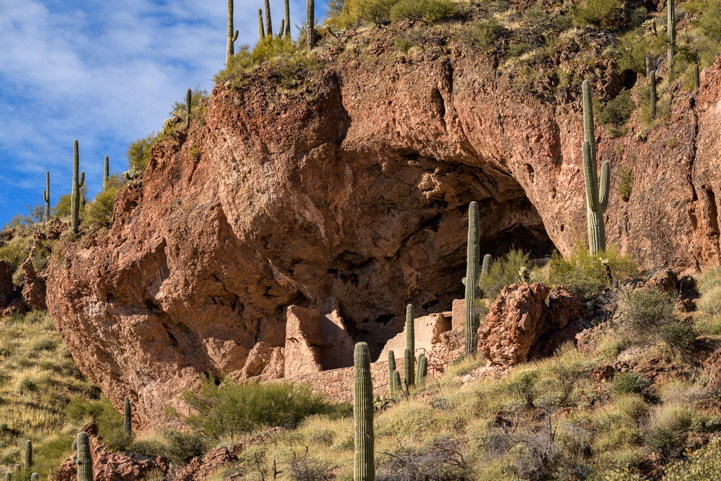
There are lots of hiking trails at Lost Dutchman State Park that go out towards the Superstition Mountains and then deep into them. We walked along the Siphon Draw Trail, Treasure Loop Trail and the Cross-Cut Trail which all wander between the campground and the mountains.

We loved the play of sun and shadow on the cliffs.
Many hikes penetrate the mountains, and if you go far enough or even do a multi-day hike, you’ll find oases with waterfalls, streams, caves and more. Or so we’ve heard. We haven’t done that yet!

The moon hovers in the background.
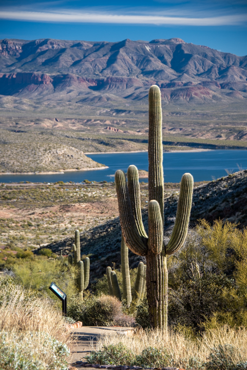
As the story goes, a German (Deutsch) immigrant found gold in the Superstition Mountains in the 1800s, but the location of his strike died with him, and the legend of the Lost Dutchman was born.
Lots of people have tried to reconstruct where that gold strike was, but to this day it hasn’t been found.

No one knows where the Lost Dutchman’s gold is located in the Superstitions, but the golden glow of sunlight illuminates the saguaro cacti all the time.
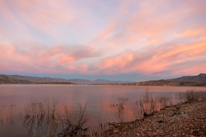
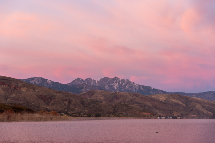
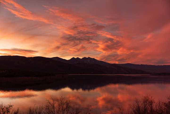
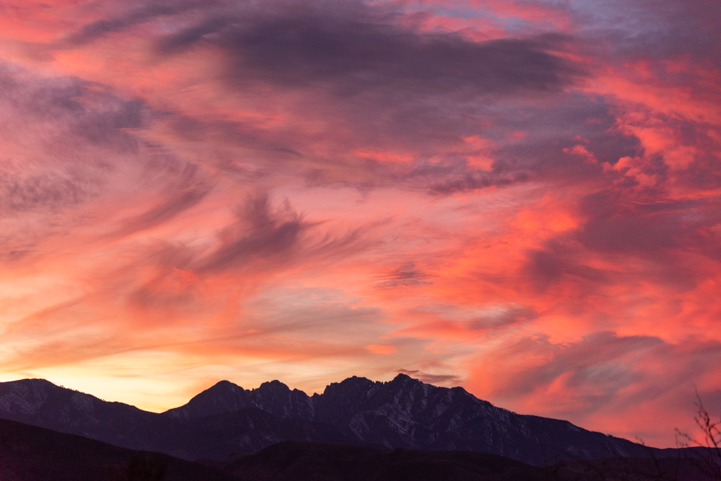
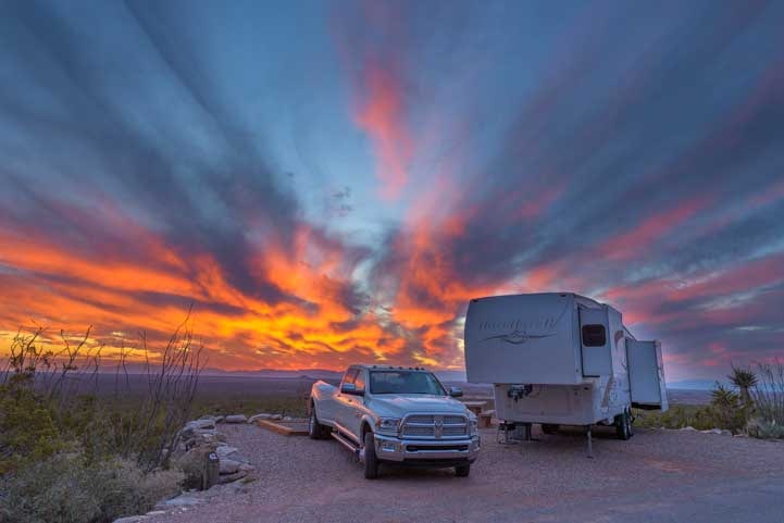
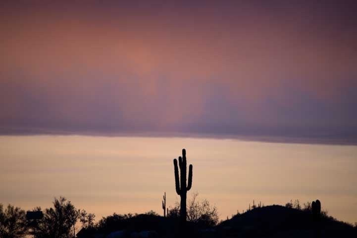
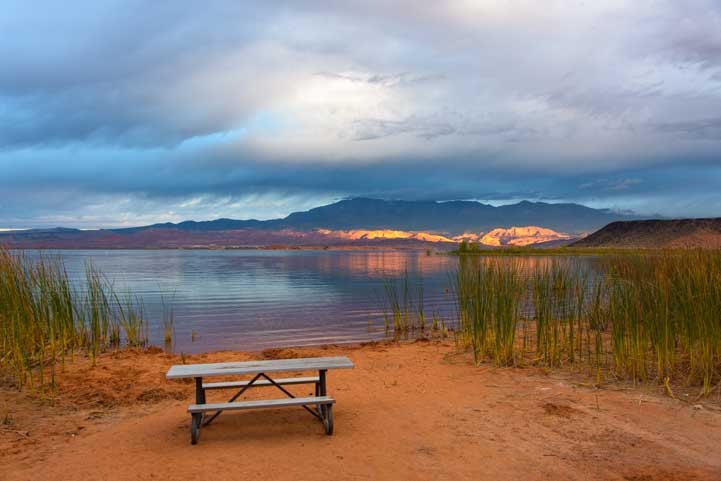
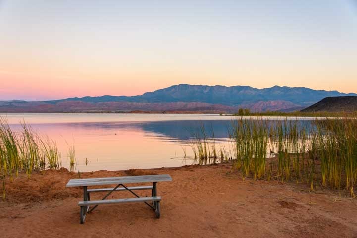
As the days progressed during our stay, a storm began to blow in and the sky became increasingly dramatic. It began one night with soft pastel colors in the sky.

Soft colors in the sky.
Each night after that, the heavens presented a varied and colorful light show.

As a storm approached, the sunsets were colorful each evening.

We could see the side of Four Peaks in the distance.

Pink pink pink!

A little orange.

Lost Dutchman is a beautiful place to camp!
And of course campers weren’t only ones sleeping at the Park. One campsite had a saguaro cactus with a huge nesting hole in it, and a little owl thought it was a great place for a snooze!

In one campsite an owl was napping in a hole in a cactus. What a fun surprise for the campers in that site!
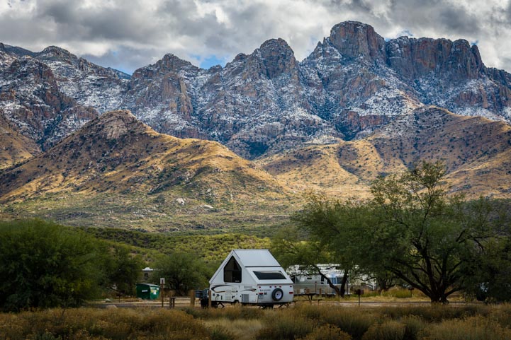
During our first few days, the high temps had been in the low 80s and we’d been in shorts. But as the storm clouds began to form, the temps dropped lower and lower and winter began to wrap its icy fingers around the campground. The skies grew ever more ominous.

Brooding skies began to form.

We used two of these solar panels to upgrade our toy hauler's factory-installed 200 watt system to a 600 watt system.
See our DIY installation here:
RV Solar Power Upgrade

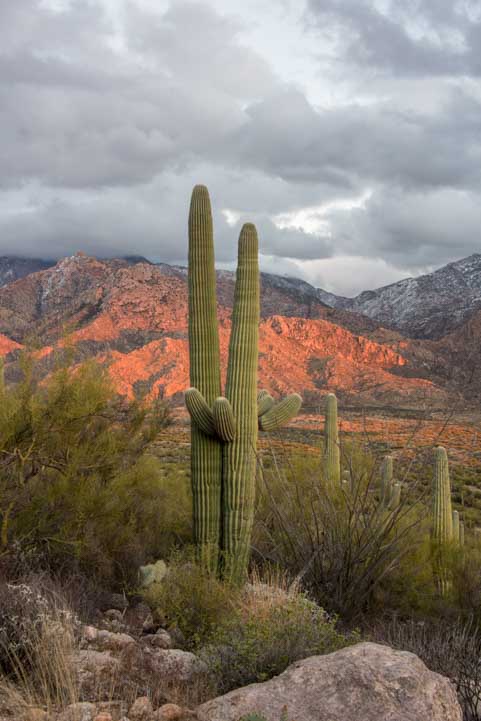
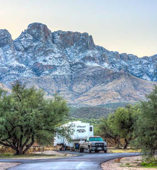
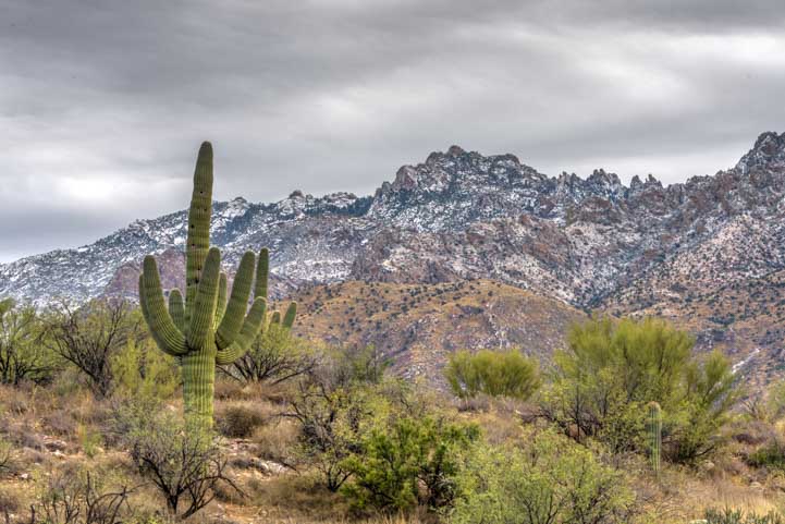
Snowy mountains and desert cacti.

There were wild stripes above our neighbor one morning.
And then the clouds became downright spectacular. We’d come here for the flowers, but this drama was every bit as thrilling!

Temps dropped and the sky began to rage!

.
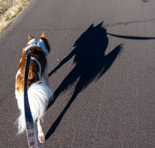
As Mark and I walked around the campground with Buddy, snapping pics of the drama that was unfolding around us, I noticed a scene that I particularly liked. It was the contrast of light and shadow on the boulders and grass in the foothills of the Superstitions.
I had a wide angle lens on my camera, though, so I couldn’t capture what I had in mind. Mark’s camera had the Nikon 24-120 lens on it and could reach out and grab what I saw. So he handed his camera to me saying, “Take it with mine!”
When I looked through the viewfinder, it wasn’t as close in on the rocks as I’d wanted. And for some reason, I assumed the lens was already all the way out at 120. So, I just snapped the shot, even though it wasn’t what I had in mind, and handed the camera back to Mark saying, “I didn’t get it. You’ll have to crop it down on the computer to make it right!” And we walked on.
Lo and behold, it turned out to be one of our favorite shots just as it was. I’d inadvertently captured both the bright light in the sky and the highlights on the ground. I love it when we talk about a scene and cooperate to take a photo, either on his camera or mine. And sometimes blooper shots are the best ones!

What I saw was the light and shadow on the small peaks, but the hole of light coming down from the heavens gives the image something extra!
The storm finally hit full force and we had two days and a night of downpours. What a deluge! These were quiet indoor days with occasional sprints outside to get the wiggles out. We were cozy, though, with the heat running inside all day long.

“When’s the rain gonna stop?!”
Finally the storm passed and we were able get outside again.
Lost Dutchman State Park has cabins for rent, and we explored the little loop where they are. These look like a fantastic way to enjoy the beauty of this state park in relative comfort if you don’t have a big RV and don’t want to stay in a tent.
There are five cabins and each one has a front porch, back porch and a small back yard with a campfire ring. Inside there are two bunk beds with mattresses and a queen bed as well.
There’s electricity and heat and air conditioning but no plumbing. Guests bring their own bedding or sleeping bags as well as cookware and camp chairs. There is a bathroom and shower building, with a large outdoor sink behind the building for washing dishes. These are rustic “camping cabins,” after all, and not hotel cabins.
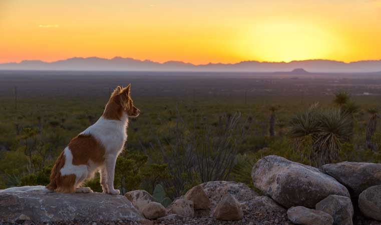
This might sound a little austere, but the setting is divine. The cabins are located away from the rest of the campground and they have a fabulous view of the Superstitions in one direction and of open Sonoran Desert in the other.

The cabins have some of the best views in the park!
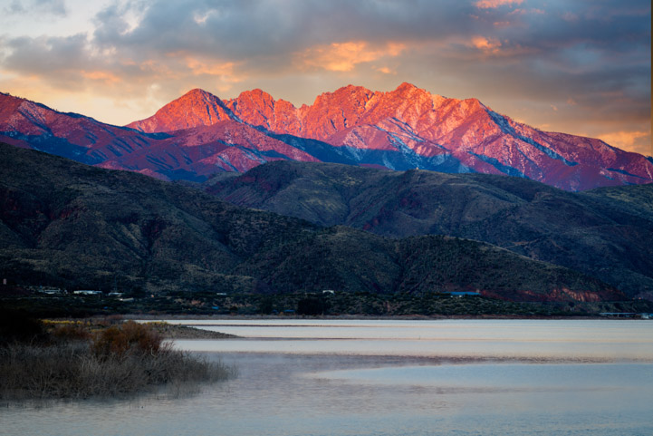
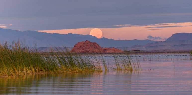
And the Superstition Mountains are what it’s all about. Mark caught a beautiful image of the mountains in the golden hour with the full moon soaring overhead.

We use these two-way radios EVERYWHERE!. Hiking, biking, shopping and parking the rig! For more of our RVing tips, visit this page: RVing Tips & Tricks

The full moon flies over the Superstitions.
That moon was so darn quiet we didn’t pay much attention to it. But then, early one morning, we went out at oh-dark-thirty looking for a cool sunrise, and I turned around to see the full moon setting behind me. I smiled as I noticed a saguaro cactus was playing with it as it fell through its branches.
First the cactus cradled the full moon for a moment. Then it rolled off its fingertips. And then it caught it in its lower branches.

A cactus cradles the moon in its arm.

Oh no… It’s rolling off!

Ahhhh… Good catch!
When we returned home, we climbed over the mountain pass around Strawberry, Arizona. The two days of rain we’d seen down in the desert had been two days of snow up in the mountains, and it was just beginning to hail as we drove through the small village (and stopped for pie at the fabulous Pie Man shop!).
Arizona sure can conjure up some crazy weather. It was hard to believe we’d been in shorts enjoying a bit of summertime at Lost Dutchman State Park just a few days before!

A huge hail storm blew in as we crested the mountains around Strawberry.

We faced a slippery slide down into the Verde Valley.
Lost Dutchman State Park deserves to be on every RVer’s bucket list. Granted, it’s full every night from October to April, but it’s worth the effort either to get online at midnight (or shortly thereafter) 365 days before you want your reservation to begin OR to check back frequently for cancellations closer to the time of your trip.
While we were there, we looked into reserving a site for the same week next year. There were sites available, however all but one of the best sites was already booked! Crazy, huh?!

Lost Dutchman State Park is a beautiful spot!
Oh yes. We stayed in the Rustic Loop 105-134. Some surveyors were surveying the campsites in our loop and we asked them why. They said the campsites in that loop are being prepared for electric and water hookups. So, that may be coming in a year or so.
Prices in 2024 were $25/night for a dry site in the rustic loop and $35/night for an electric/water site in all the other loops.

Lost Dutchman State Park is a very special place
Subscribe
Never miss a post — it’s free!

More info about Lost Dutchman State Park:
- Lost Dutchman State Park – Official website
- Campsite Reservations at Lost Dutchman – Book early or watch for cancellations!
Other special campgrounds we’ve enjoyed:
- Boondocking at Big Bend National Park – Cheap & Scenic RV Camping
- Catalina State Park & Roosevelt Lake: RV Camping in AZ
- City of Rocks State Park, NM – RV Camping in the Hoodoos!
- Dead Horse Ranch State Park + Tuzigoot and Clarkdale
- Goblin Valley, UT – Where the Ghosts Are
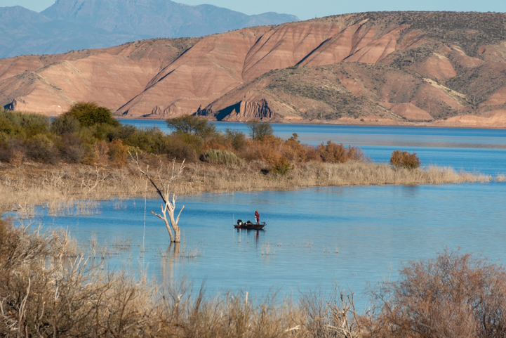
- Lake Pleasant & Canyon Lake – Waterfront Camping in Arizona’s Sonoran Desert
- Lost Dutchman State Park Campground – Arizona Gold in the Superstitions
- Lost Dutchman State Park: GORGEOUS scenery & RV campground!
- Lynx Lake, Arizona – Great RV Camping Near Prescott!
- Oliver Lee Memorial State Park, New Mexico – A Dog’s Eye View!
- Roosevelt Lake – Lakeside Camping in AZ
- RV Camping with the Rock Art Petroglyphs in Gila Bend, AZ
- Sand Hollow State Park, Utah – An Oasis in the Desert!
- Valley of Fire, NV – A Cauldron Cooled
- Windy Hill Campground + Tonto National Monument
- Wupatki Nat’l Monument – Ancient Indian Ruins & Great Camping in AZ!
- Zion NP, Kodachrome Basin & Snow Canyon, UT – Great Red Rocks!
Other blog posts from our travels in Central Arizona:
- “RaVeS” Cafe for RVers in Mesa AZ
- A Majestic Scenic Drive in Arizona – The Bush Highway
- Arizona, Here We Come – Space Aliens of All Kinds!
- Arizona’s Stunning Apache Trail Scenic Drive
- Burrowing owls in Gilbert, Arizona – They’re a Hoot!
- Camping World Video Shoot — RVing is for Everyone!
- Castle Hot Springs and Other AZ Treasures near Lake Pleasant
- Catalina State Park & Roosevelt Lake: RV Camping in AZ
- Copper Mines, NOT CAMPING, in Tonto National Forest – Why?
- Dead Horse Ranch State Park + Tuzigoot and Clarkdale
- Dolly Steamboat – Gliding Through the Arizona Desert on Canyon Lake
- Exploring the Lower Salt River and Apache Trail in Arizona!
- Fall Color in Arizona’s Sonoran Desert near Roosevelt Lake
- Fall Colors and Wildlife on the Sonoran Desert Rivers in Arizona
- Fiery Sunsets and Interesting Folks in the Arizona Desert
- Florence, AZ – Few Tourists & Lots of Soul!
- Hunting Spring Wildflowers in Arizona
- Lake Pleasant & Canyon Lake – Waterfront Camping in Arizona’s Sonoran Desert
- Lost Dutchman State Park Campground – Arizona Gold in the Superstitions
- Lost Dutchman State Park: GORGEOUS scenery & RV campground!
- Magical Moments in the RV Life
- McDowell Sonoran Preserve in Scottsdale AZ
- Merry Christmas – Arizona RV Style!
- Monte Vista RV Resort in AZ – Arts, Crafts and Sports Fun!
- Peach Faced Lovebirds in Phoenix, AZ – Parrots in Cactus!
- Phoenix on the Wing – Waterbirds of Arizona!
- Phoenix Parks – Saguaros and Sisters
- Phoenix Sonoran Preserve – A City Escape
- Rainbows and Wild Horses in the Arizona Desert!
- Ranch Sorting Competition – Cowboy Adventures in Phoenix Arizona
- Rivers of Phoenix – Oases in the Desert!
- Roosevelt Lake – Lakeside Camping in AZ
- Roosevelt Lake, AZ – Desert Oasis
- RV Camping with the Rock Art Petroglyphs in Gila Bend, AZ
- Saguaro Lake – On the Waterfront in Phoenix
- Saguaros and Sunsets in Phoenix Arizona
- Snow in the Arizona Desert – A Beautiful Fairy Dusting!
- The Wind Cave Hike in Phoenix AZ – The Hills are Alive!
- To Catch a Hummingbird (on camera!)
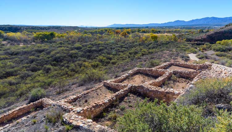
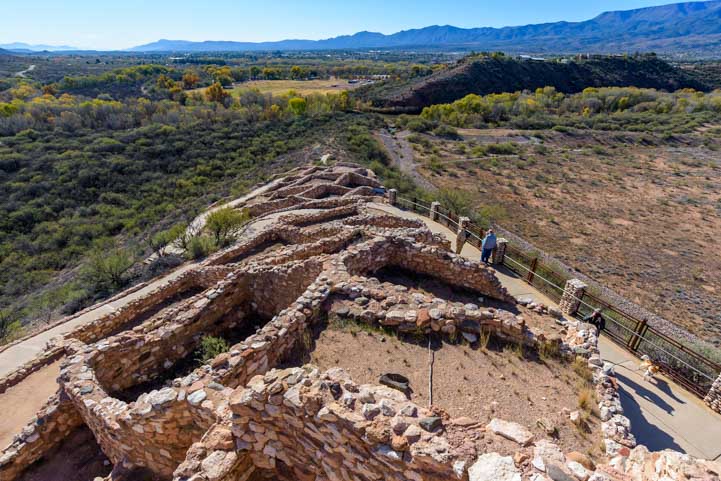
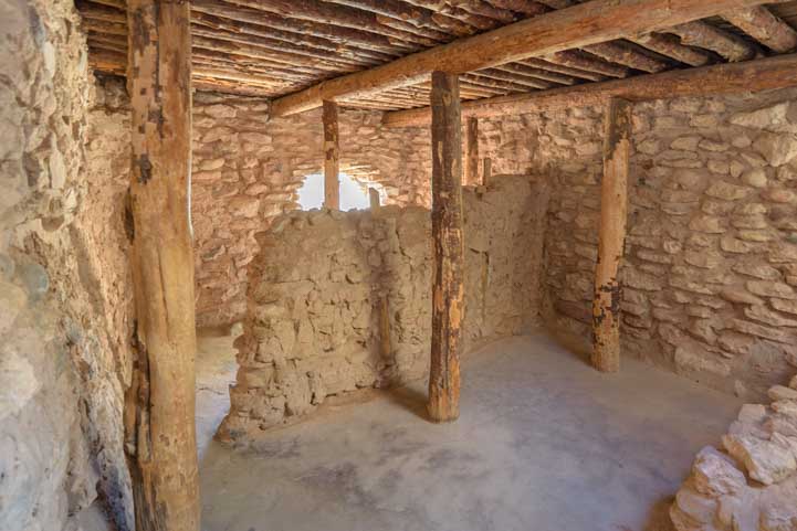
- Tonto National Monument AZ – Lower Cliff Dwellings
- Tonto National Monument AZ – Workamping with the Ancients!
- ViewPoint RV & Golf Resort – RVer’s and Golfer’s Delight!
- We’re Alive and Well and Camping in Arizona!
- Where to See WILDFLOWERS (especially POPPIES) in Arizona 2023!
- Wild Horses of the Salt River in Phoenix
- Windy Hill Campground + Tonto National Monument
Our most recent posts:
- Buckskin Mountain State Park – Fun on the Colorado River! 01/31/26
- How to Install Starlink Gen 3 in an RV? Use the Speedmount! 08/07/25
- Escape to Paradise – Rocky Mountain Magic! 08/01/25
- Is Forest River a Good RV? Well Built? Here’s Our Experience 06/20/25
- Sunset Crater Nat’l Monument – Lava & Camels at Bonito CG! 06/06/25
More of our Latest Posts are in the MENU.
New to this site?
Visit RVers Start Here to find where we keep all the good stuff. Also check out our COOL NEW GEAR STORE!! *** CLICK HERE *** to see it!
<-Previous || Next->