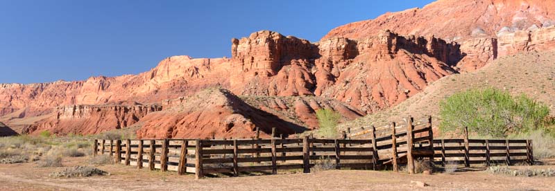
On the way in to Bryce Canyon National Park, visitors pass through stunning Red Canyon. The red rocks in this magical canyon are such a vivid color and such a huge surprise that visitors are instantly in a quandary — should they stick around and check out this gorgeous canyon they’ve never heard of before, or continue on the remaining 12 miles to Bryce Canyon, full speed ahead??

For many visitors to Bryce Canyon, the warmup act at Red Canyon is a fantastic surprise.
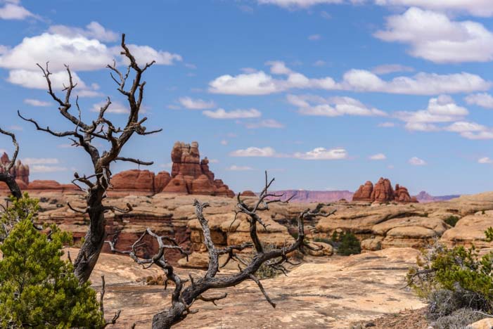
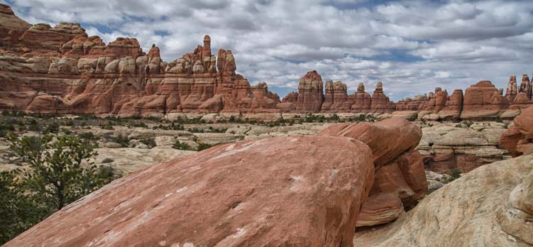
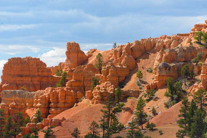
Red Canyon is a beautiful area the has several wonderful hiking trails and lots of incredible scenery.

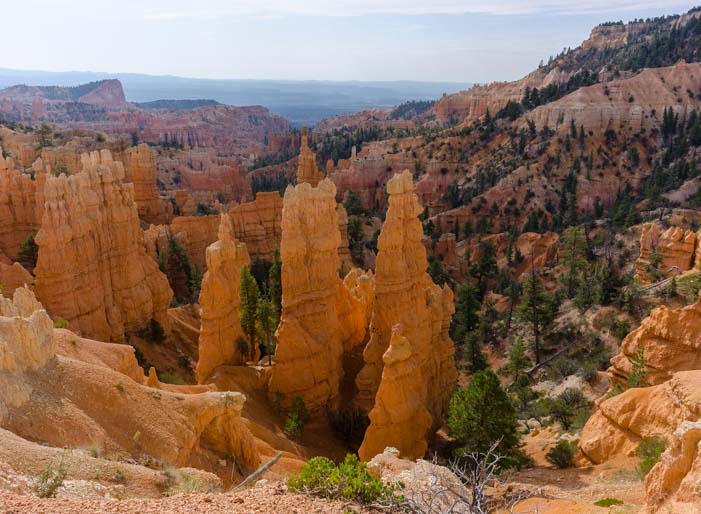
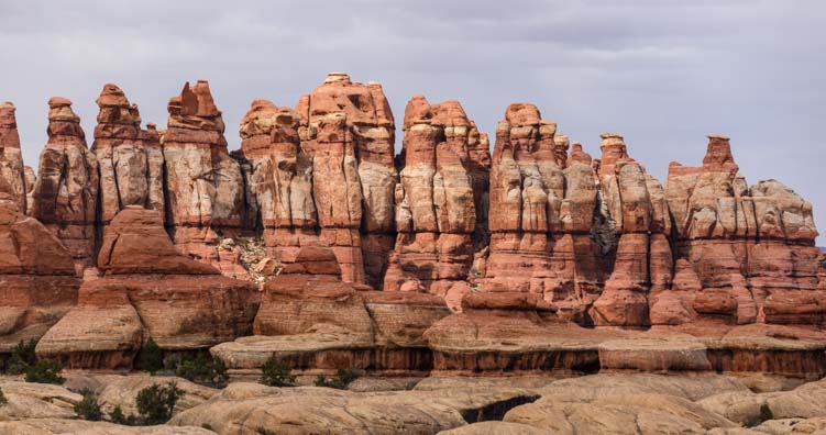
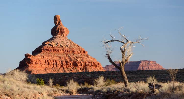
Hoodoos at Red Canyon
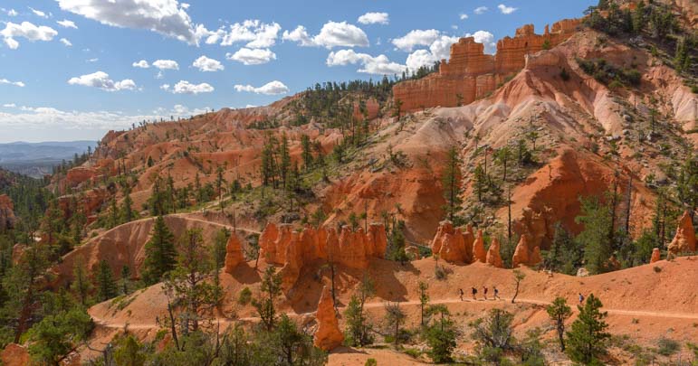
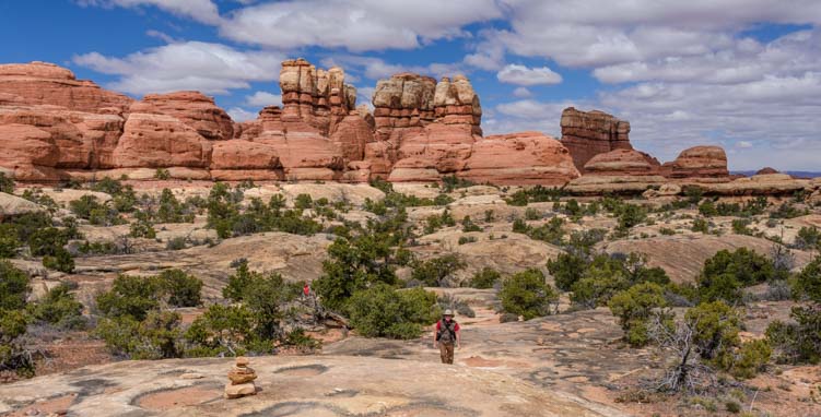
We hiked the easy Pink Ledges trail that took us right into the heart of the red rock hoodoos in just a few uphill steps.

Views on the Pink Ledges Trail
We’ve hiked the beautiful trails in Red Canyon before, and it was wonderful to be immersed once again in this lovely red rock canyon that so many tourists blow right by.

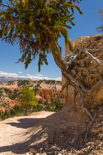
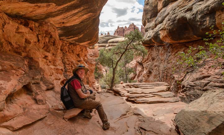
Huge caves and holes in the rocks
The various hiking loops in Red Canyon can be mixed and matched to make a hike of any length, and the Pink Ledges Trail soon merged into the Bird’s Eye trail.
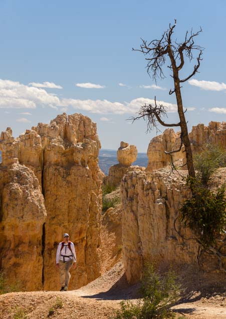
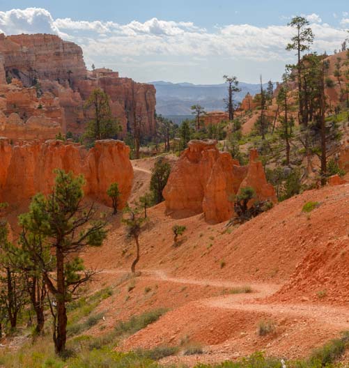
Views on the Bird’s Eye Trail
This took us out along the edges of the red rocks and rose higher and higher.

Hiking the Bird’s Eye Trail.

.
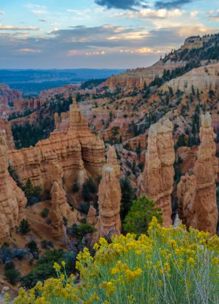
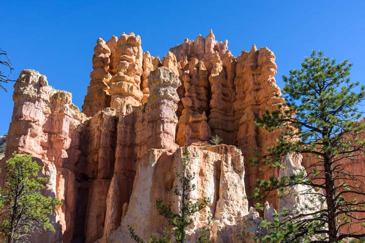
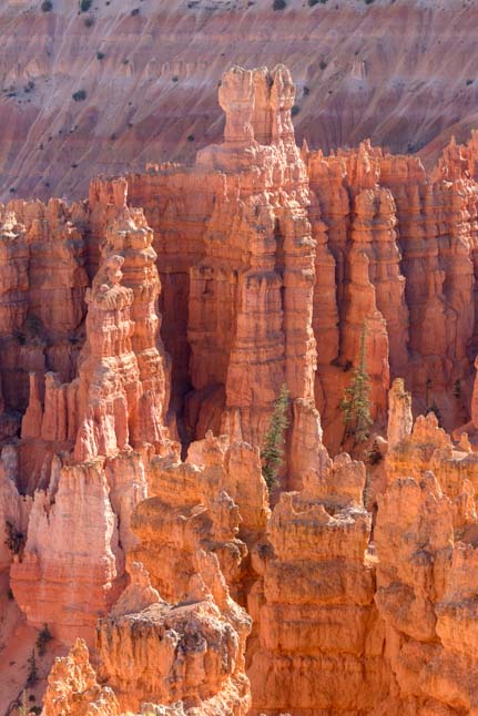
We wandered back to the central part of the canyon and admired the twin hoodoos that stand like sentries high up on a ledge.

Enormous stone sentries guard Red Canyon
Below them, we ran into a young couple sitting on a park bench enjoying the shade of a ponderosa pine and the views all around them. We found out they had just gotten engaged moments before, and they proudly showed us her beautiful brand new ring!

What a lovely spot to get engaged!
Red Canyon holds a special place in our hearts, because it was where we discovered the wonders of the RV lifestyle.
We were on a whiz-bang weeklong tour of Grand Canyon’s South and North Rim, Bryce Canyon and Zion National Park with our tent and bicycles, back in our workaday lives long ago, and we wound up camping at Red Canyon on the suggestion of a forest ranger we spoke with when we stopped in at the ranger’s office on the way to Bryce Canyon.
After a beautiful day at Bryce Canyon, we returned to the Red Canyon Campground to a massive deluge and thunderstorm that was followed by two days of rain.

Camping at Red Canyon Campground holds special memories for us
After scurrying from coffee shop to lunch bistro to dinner restaurant around Panguitch and Brian Head, desperately trying to stay warm and dry, we returned to the campground to find all the other campers happily kicking back in their RVs. They were reading books and playing board games with the lights on in their rigs, while we crawled back into our dark soggy tent.

Life can be pretty sweet in an RV
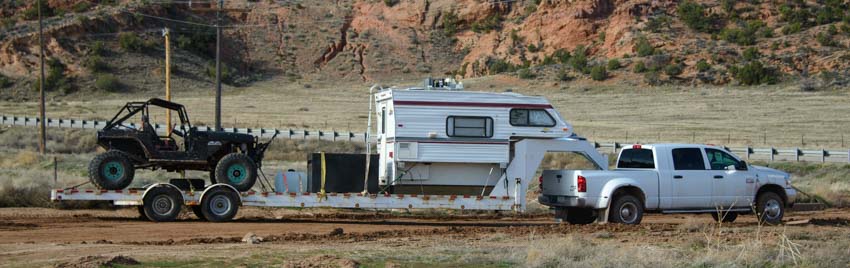
Within a few days, we were the proud owners of a Toyota Tundra truck and a popup tent trailer!
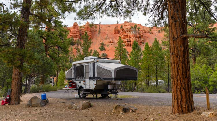
Camping at Red Canyon in a popup – Fun!!
Of course, tent camping is absolutely wonderful too, and we look back on our tenting days with fondness. But there’s nothing like being warm and dry and having a comfortable place to sit that is sheltered and high up off the ground when Mother Nature decides to let loose with a storm!

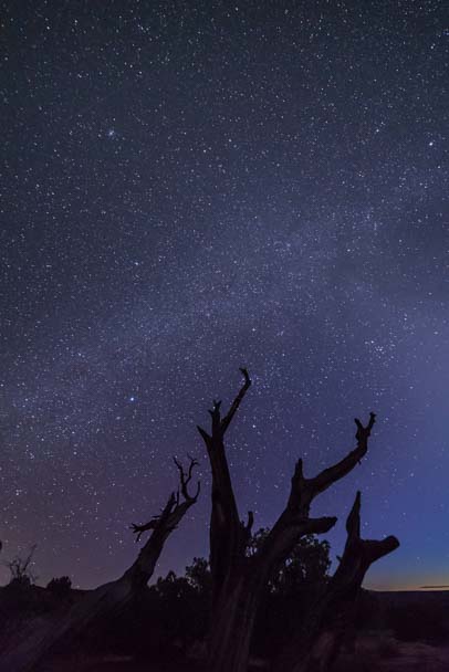
Camping under the stars
Red Canyon Campground is an absolute delight. You can camp within view of the red rock hoodoos, and there are a few campsites that are big enough for a big trailer like our fifth wheel.
Another treat at Red Canyon is the paved bike path. Being at 8,500′ elevation, we had to work a bit with each pedal stroke, but the scenery was second to none.

Riding in the Red Rocks at Red Canyon
The Red Canyon Bike Trail goes all the way from Red Canyon to Bryce Canyon City, the little hamlet that used to appear on maps as “Rubys Inn” because it is home to Ruby’s Inn, a family run operation that includes an inn, restaurant and an RV park.

We love this bike path
Every time we’ve been to this area in the past, we’ve wished that the bike trail went all the way into Bryce Canyon.

There’s a little bridge on the east end of Red Canyon

The bike path runs parallel to the highway for some of its route
Lo and behold, the National Park Service granted our wish this season and extended the paved bike trail all the way into Bryce Canyon as of a few weeks before our arrival!! It is now 17 miles long and you can ride from the west end of Red Canyon all the way to Inspiration Point in Bryce Canyon.
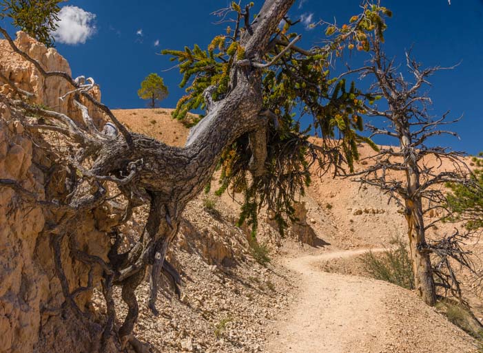
This project was undertaken and completed for the 100th anniversary of America’s National Parks this past August, and it takes a wonderfully winding route through the ponderosa pine forest right to the Bryce Canyon Visitors Center.

The new paved bike path in Bryce Canyon passes through Ponderosa Pine forest
From the Visitors Center, the Bryce Canyon bike trail passes all the main overlooks and wanders away from the rim for a bit too as it swings by the Bryce Canyon Lodge.
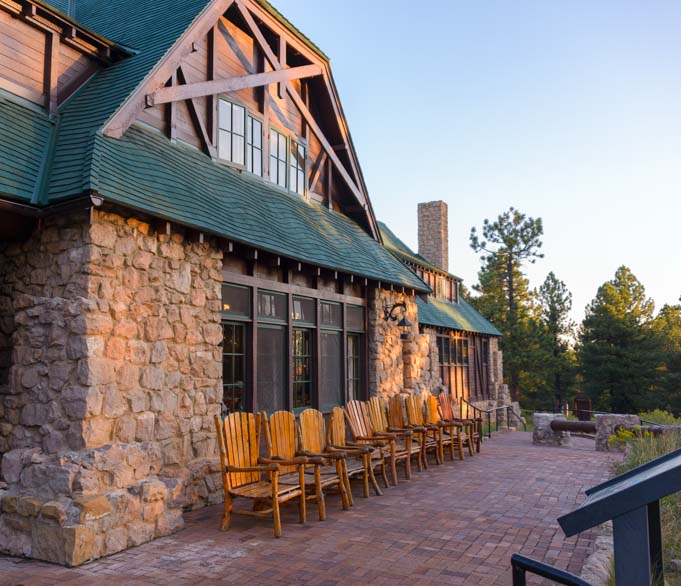
Bryce Canyon Lodge is on the route for the new Bryce Canyon bike trail
We had to get off our bikes and walk when we visited the overlooks in Bryce Canyon, but what a fabulous addition this bike trail is to one of the National Park Service’s premier parks. We were absolutely thrilled by the new bike path, and we rode it many times during our stay.

In Bryce Canyon we walked out to the overlooks
Hopefully the National Park Service will continue building bike paths at other National Parks. The bike trail at Grand Teton National Park is superb as well, and keeps getting longer each time we visit.
The best way to experience a National Park is to be outdoors in the thick of it, and how fantastic it is to be able to fly along and enjoy the views from the seat of a bike!
Subscribe
Never miss a post — it’s free!
More info about Red Canyon and the Bike Trail:
- Red Canyon – US Forest Service Website
- Location of Red Canyon, its campground and the route to Bryce Canyon’s Inspiration Point
Our previous RV trip to Red Canyon:
Red Canyon Utah – An Overlooked Treasure – 09/15/11
More blog posts from our RV trips to Bryce Canyon
- Bryce Canyon in Winter – Snow and Lace on the Red Rock Spires! 01/25/19
- Spring in Sarasota FL + Bryce Canyon’s Night Skies – in Trailer Life 04/04/17
- Bryce Canyon – Rainbow Point – Bristlecone Pines and Sweeping Vistas 11/01/16
- Bryce Canyon National Park – “Mossy Cave” – Mystery Waterfall! 10/18/16
- Red Canyon Utah and the Bryce Canyon Bike Trail! 10/13/16
- Bryce Canyon Gone Wild – Tempests, Rainbows & Wildlife 10/09/16
- Bryce Canyon National Park – Fairyland Trail – A Beautiful Hike! 10/02/16
- Bryce Canyon – Hiking The Rim & Navajo Loop + A Tourist Time-lapse! 09/29/16
- Bryce Canyon National Park – Inspiration Point – OMG! 09/27/16
- Bryce Canyon, UT – Fairyland of Pink Turrets 08/25/08
Related posts from our RV travels:
- Our RV travels in Southwestern Utah – Bryce, Zion and Capitol Reef area
- Our RV travels in Southeastern Utah – Moab, Arches, and Canyonlands area
- Our RV travels to Sedona Arizona – Red Rock Country in AZ
- Our travels to North America’s National Parks – National Parks and World Heritage Sites in the US, Canada and Mexico
Our most recent posts:
- Buckskin Mountain State Park – Fun on the Colorado River! 01/31/26
- How to Install Starlink Gen 3 in an RV? Use the Speedmount! 08/07/25
- Escape to Paradise – Rocky Mountain Magic! 08/01/25
- Is Forest River a Good RV? Well Built? Here’s Our Experience 06/20/25
- Sunset Crater Nat’l Monument – Lava & Camels at Bonito CG! 06/06/25
More of our Latest Posts are in the MENU.
New to this site? Visit RVers Start Here to find where we keep all the good stuff!!
<-Previous || Next->