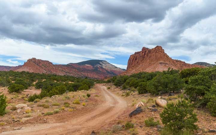
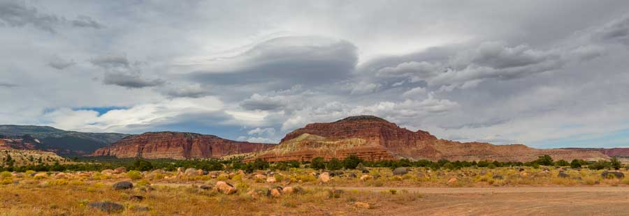
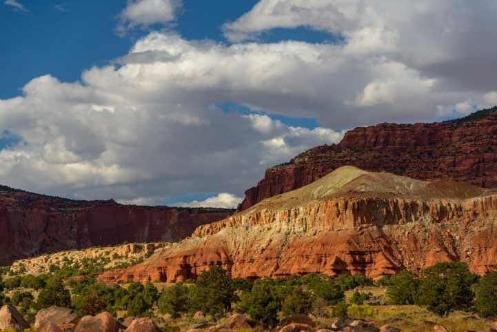
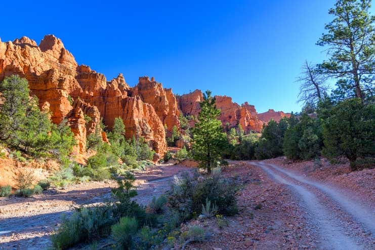
May 2024 — On our recent RV trip to Lake Powell we came across a fun little hike that is near Lake Powell, just over the Glen Canyon Dam from town of Page, Arizona. It’s called the Beehive Trail, and it’s pretty obvious why: the predominant rock formation resembles a beehive!

Hiking the Beehive Trail is lots of fun!
The whole area is a wide expanse of relatively flat boulders, and you can head in any direction from the trailhead. However, if you like to follow a real trail, the National Park Service (managers of Glen Canyon Recreation Area where Beehive Ttrail is located) has outlined a path across the boulders using two lines of small rocks to show their suggested route.
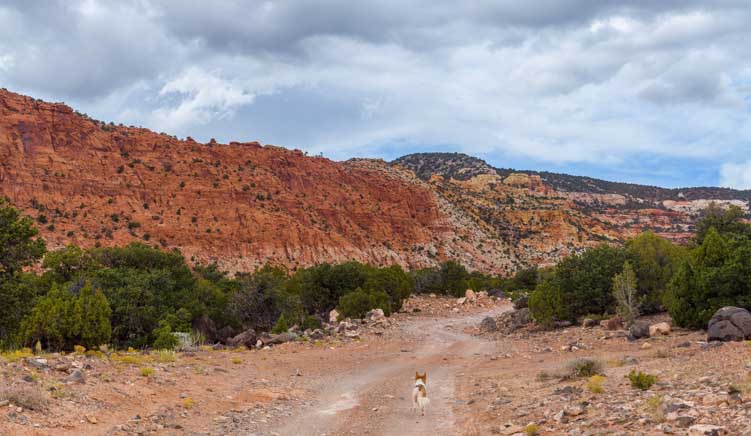
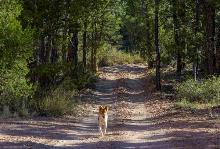
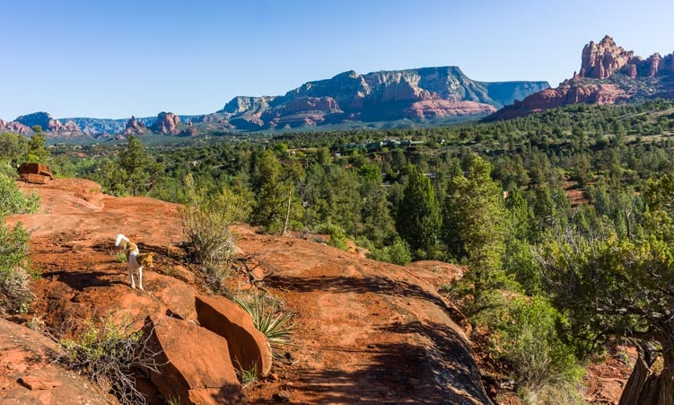
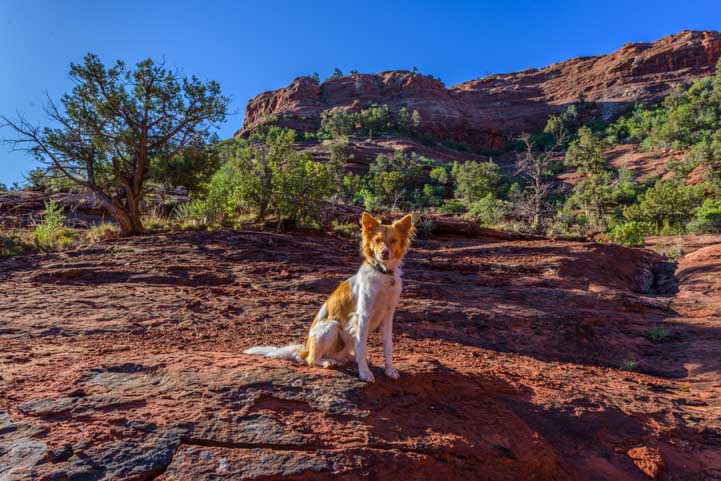
Our Trail Scout (our beloved pup, Buddy) promptly hopped on the trail and showed us the way.

Buddy, our Trail Scout, bounded ahead of us on the Beehive Trail.
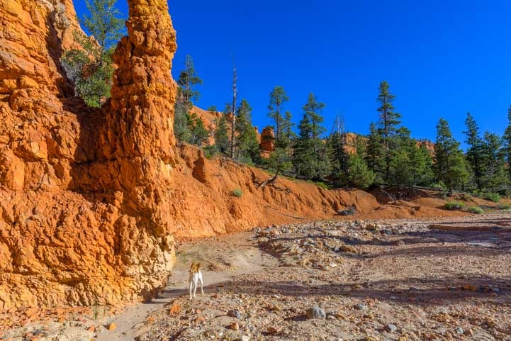
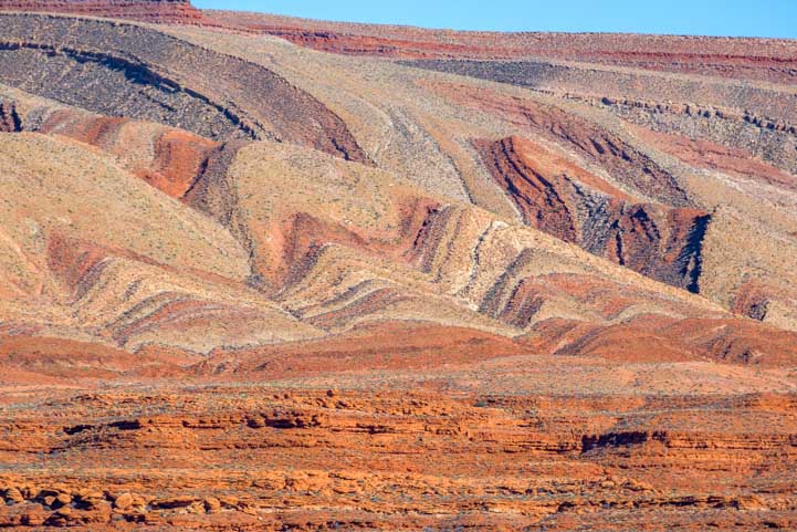
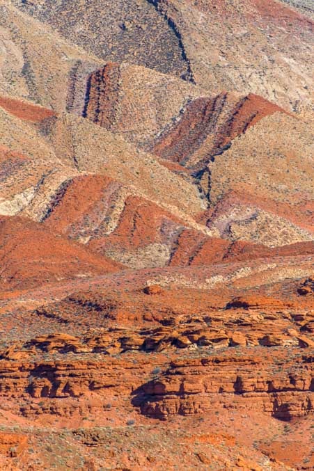
What makes this rock formation very “beehive-like” is the thin layers of rocks that lie like shingles overlapping each other very slightly.

Narrow “shingles” adorn the sides of the beehive.
The thin lines curve this way and that, making wonderful patterns everywhere.

Curvy layers.

Straight layers.

A mix of layers leading up to Buddy!
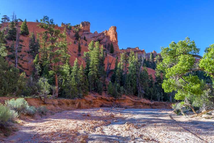
People compare these layered undulations to The Wave, a nearby sandstone formation that resembles a fabulous curling ocean wave. Both formations were undoubtedly created by similar forces: small trickles of water rolling downhill followed by extended periods of very high wind.
The hike was super easy, but we kept getting waylaid by the fantastic shapes and contours that begged to be photographed.

Creases and layers on the side of the beehive.

Such great patterns!

.
We ended up doing the hike several times at various times of the day, and each time it was a completely different hike.
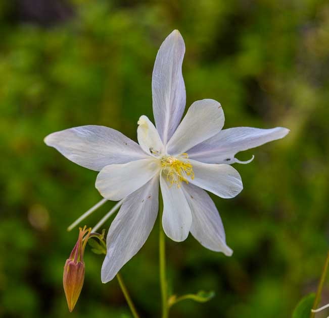
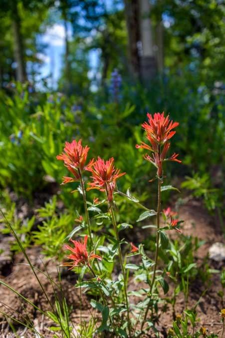
The spring flowers were blooming, but we discovered that some of them liked to sleep in in the morning! So, if we got out on the trail too early they were all closed up! Later in the day, though, they blossomed to their fullest.
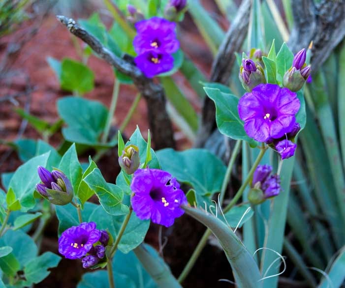
There were a few magenta cactus flowers in bloom here and there, and late one afternoon we noticed one that was backlit. So pretty!

These humble cacti burst with color each spring!

The cactus flower wore a halo when the sun shone through its petals.
Early in the morning, we found evening primroses that were still opened up. Once the sun had ascended into the heavens, these delicate flowers quietly closed, saving their beauty for the next evening.

Evening primroses were still open in the earliest morning light.
The whole hike is about 45 minutes if you follow the loop trail and circle around the beehive rock formation in the middle without stopping too much, but we just couldn’t go that fast. This was a special moonscape that was worth savoring, even sitting down!

.
Our favorite time was late in the afternoon. Not so late that the sun was setting, because by then all the shadows were gone and the landscape flattened out. But a bit before sunset when the sun cast a burnt orange glow across the red rocks.

The beehives beckon at the end of the day.
Buddy loved being out there, and we always conferred with him about which direction we’d go.

“Which way?”
He liked posing amid the rock formations too. He’d run ahead and then pose as he waited for us slowpokes to come along.

Buddy waits patiently for us, his colors blending in with the surroundings.
Like a true model, he took different poses and faced in different directions.

“Do you like my front side?”.

“Or my left side?”

“Or my back side?”
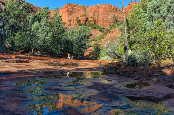
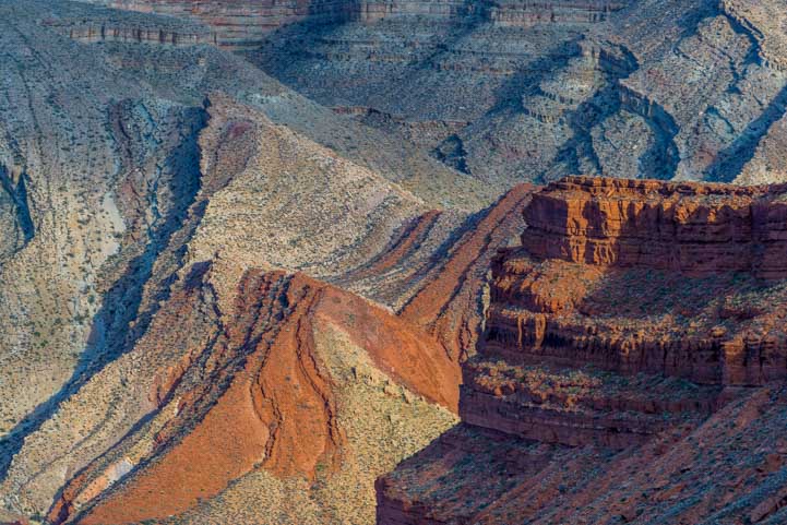
There were some fabulous rock pinnacles at the furthest point in the hike. You can clamber up to the base of these pinnacles or even scramble up the sides. Peering into the crack between two of these pinnacles we found a little oasis of scrub brush and small trees in a huge sandstone bowl.

We spotted a hiker between the pinnacles in the distance.
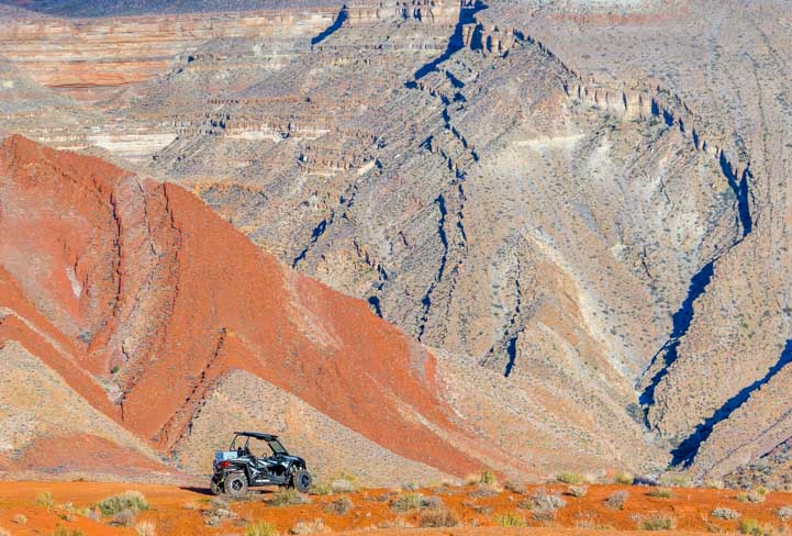
We saw other hikers each time we hit the trail, but it is the kind of place that is so expansive you never feel crowded.

.
We highly recommend giving the Beehive Trail a try. It is located just west of Glen Canyon Dam on US-89.

What a lovely surprise this hike turned out to be.
If you’re looking for a spot to camp, there’s a tiny campground right there opposite the trailheadl. There are only six sites and it is an extremely exposed and dusty place, especially when the wind howls in the afternoon. But it works if you don’t mind hiding inside when the dust flies. It is first-come-first-serve, and it fills up quickly during the peak spring and fall seasons.

Never miss a post -- it's free!
More info about Beehive Trail and the surrounding area:
- Beehive Trail Info – Lake Powell Hub
- Beehives Trailhead – National Park Service
- Location of Beehive Trail – Google Maps
- Map of Glen Canyon Recreation Area
- Arizona’s Scenic Roads and Hikes
Other blog posts from northeastern Arizona:
- “Cliff Dwellers” on Arizona’s Vermillion Cliffs Scenic Drive – A Fun Stop!
- A Glimpse of the Navajo (or “Diné” as they call themselves)
- Beehive Trail in Arizona – A “Mini Wave” hike by Lake Powell
- Blue Mesa Trail – Lavender Beauty in Petrified Forest National Park
- Canyon Country Highlights – Lake Powell, Horseshoe Bend & More!
- Canyon de Chelly – Breathtaking Views Under Vibrant Skies
- Canyon de Chelly, AZ – A Canyon of Indian Cliff Dwellings
- Getting Our Kicks on Route 66 by RV in AZ – Cool Springs, Winslow & Holbrook
- Horseshoe Bend Overlook – Page, Arizona – Stunning!
- Lake Powell – Heart of Glen Canyon National Recreation Area
- Lees Ferry & Marble Canyon AZ + Pretty Paria River Hike
- Mysteries in the Navajo Nation, Arizona
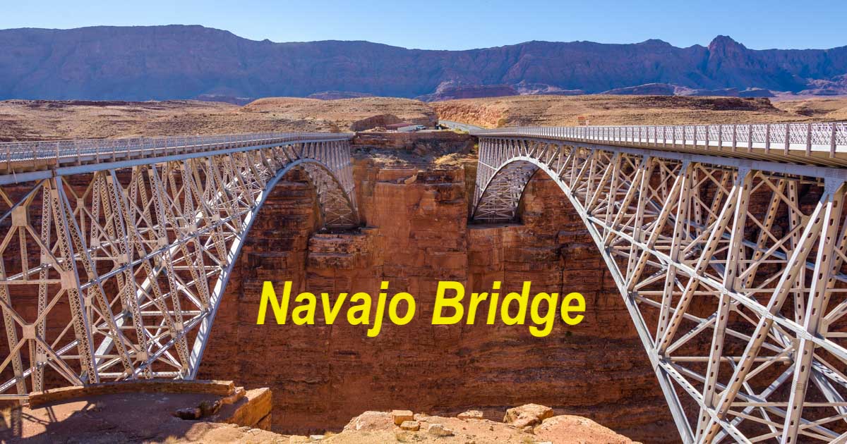
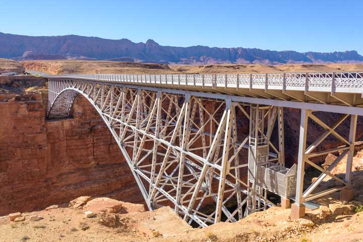
- Navajo Bridge, Arizona — A Scenic Roadside Attraction in Red Rock Country
- Navajo National Monument, Monument Valley and Bears Ears
- Petrified Forest National Park RV Trip – Magic in Jasper Forest
- Wire Pass Trail – Slot Canyon Hiking!
Our most recent posts:
- Buckskin Mountain State Park – Fun on the Colorado River! 01/31/26
- How to Install Starlink Gen 3 in an RV? Use the Speedmount! 08/07/25
- Escape to Paradise – Rocky Mountain Magic! 08/01/25
- Is Forest River a Good RV? Well Built? Here’s Our Experience 06/20/25
- Sunset Crater Nat’l Monument – Lava & Camels at Bonito CG! 06/06/25
More of our Latest Posts are in the MENU.
New to this site?
Visit RVers Start Here to find where we keep all the good stuff. Also check out our COOL NEW GEAR STORE!! *** CLICK HERE *** to see it!
<-Previous || Next->