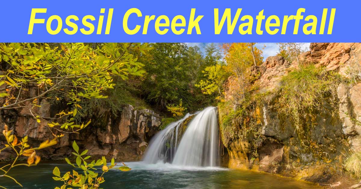
November 2022 – The Fossil Creek Waterfall in Arizona’s Verde Valley is a scenic cascade at the end of a pretty hike through the woods. It’s especially beautiful when there’s a bit of fall color!
.
The whole Fossil Creek area was closed for several years due to wildfire erosion damage. When it reopened, lots of people jumped at the chance to hike in this beautiful area once again, and we were among the the very first who showed up the day it opened!
The trailhead is accessed via Fossil Creek Road. One end of this road intersects with AZ Route 260 about 8 miles east of Camp Verde and the other end rolls into the west side of the town of Strawberry.

Coming from the west, Fossil Creek Road is a dirt road, and since we were unsure what condition it might be in, we thought it would be fun to drive our Polaris RZR side-by-side instead of our truck. The road turned out to be well graded and the drive was easy, even for a passenger car.

The RZR made getting to the trailhead a lot of fun!
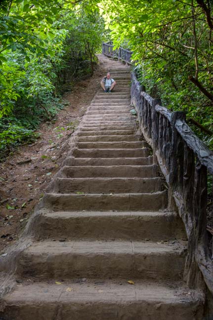
The area near the trailhead had sustained quite a bit of damage. Fortunately, another pair of hikers who knew the area well were parking their car just as we arrived, and they helped us find the start of the trail to the Fossil Creek Waterfall.
Buddy, our little Trail Scout, was excited to lead the way after that!

Buddy loves his job as Trail Scout!
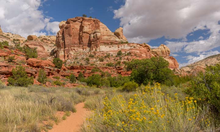
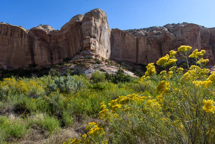
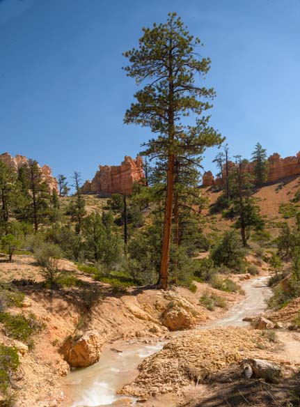
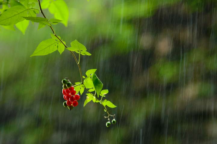
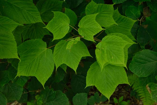
It was autumn and some of the trees were wearing their finest fall colors.
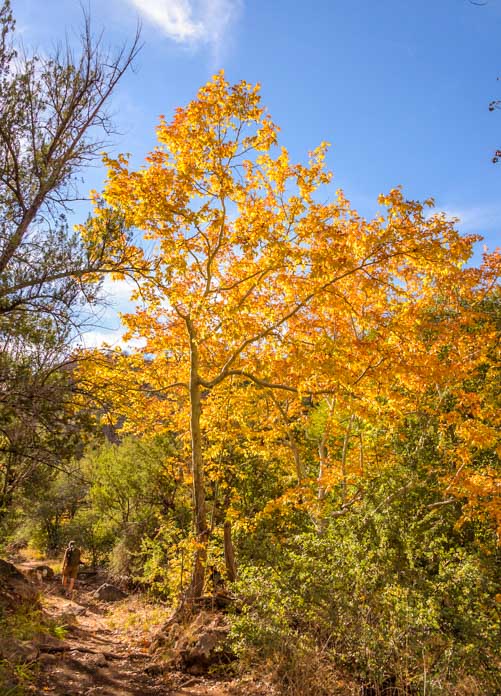
Quite a few trees were outfitted in their Fall Finest.
We walked slowly and savored the pretty autumn colors around us. It wasn’t as dazzling as the fall foliage along Colorado’s San Juan Highway or in Michigan’s Upper Peninsula, but it was lovely nonetheless.

We saw some yellow…

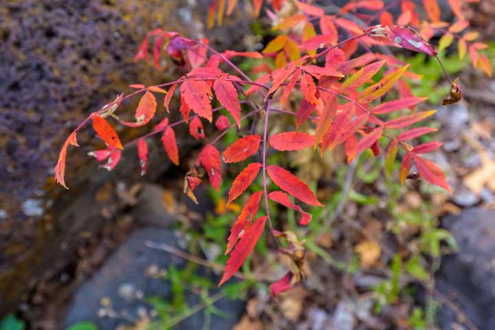
…and some red.

.
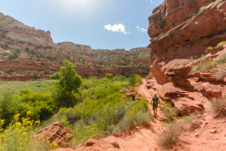
The trail was a little rocky in some spots and there were a few small water crossings too. Someone had built a bridge across the creek, although it was probably easier to hop over the thin stream of water since it wasn’t very high!

It was easier to jump over the tiny creek, but I took the rickety bridge instead!
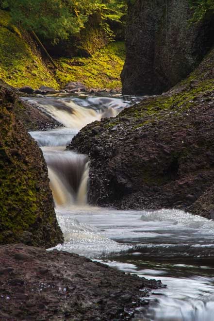
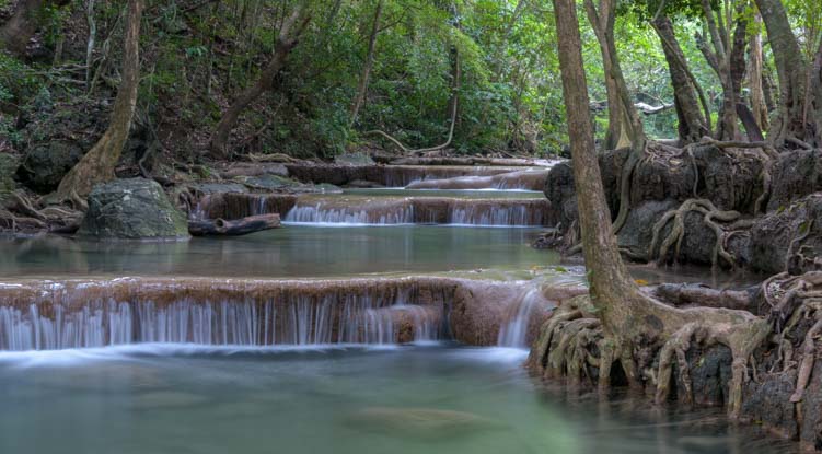
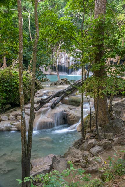
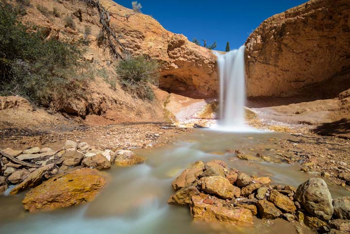
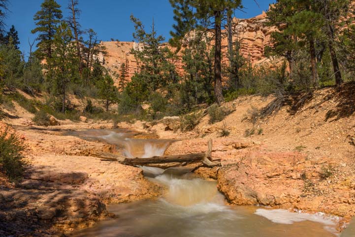
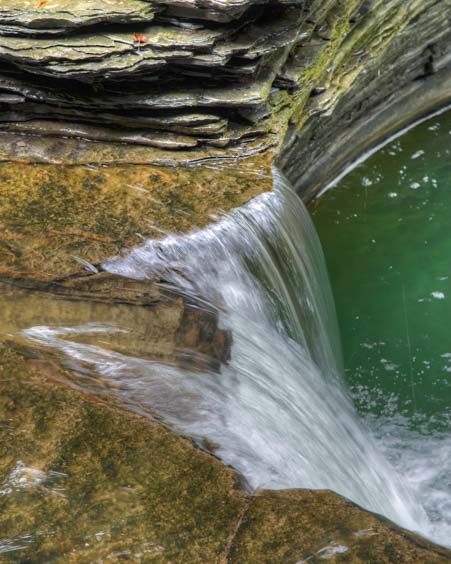
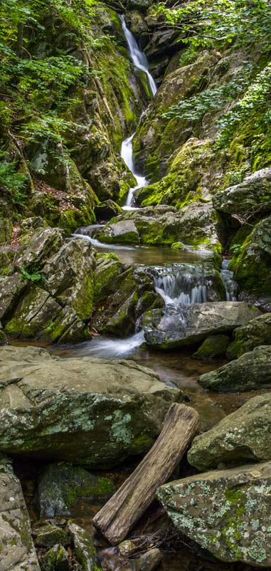
Suddenly, we heard rushing water in the distance ahead of us. Some hikers who had done the hike before noticed us staring at it hopefully as they passed. “That’s not the waterfall!” one said with a wink.

We spotted a small waterfall in the distance.
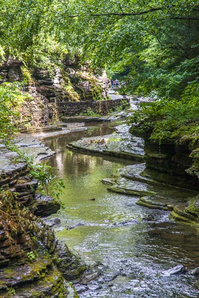
This little cascade was very pretty, though, and we hung out for a while, sitting under the canopy of trees listening to the sounds of the water tumbling over the rocks.
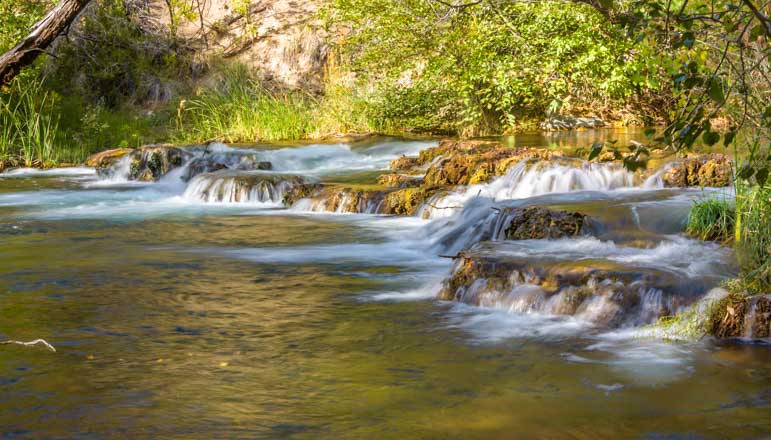
We found ourselves in a lovely grotto next to the rushing water.

.
Buddy found his happy place up on a rock and watched us as we took photos.
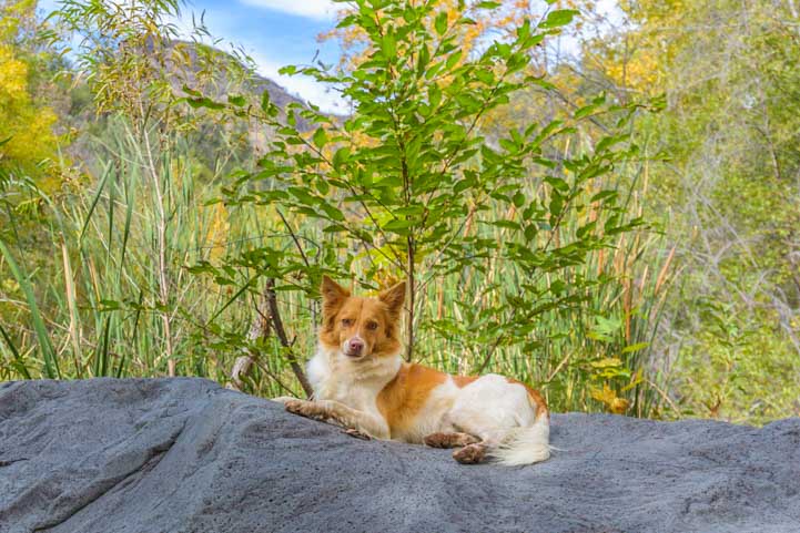
Buddy surveyed the scene from up on a rock.
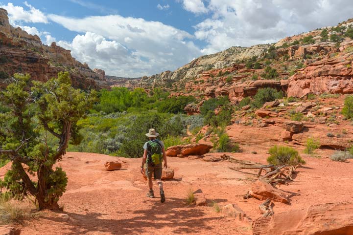
We finally tore ourselves away from this lovely little oasis and continued our delightfully shaded hike.

The hike to the Fossil Creek Waterfall has plenty of shade.

.

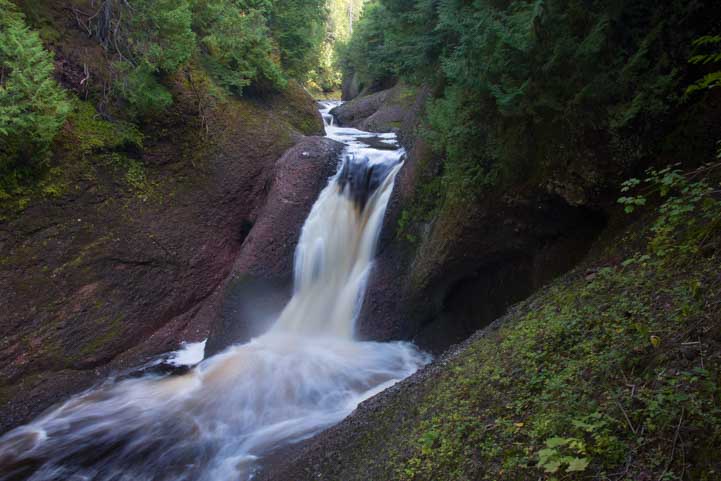
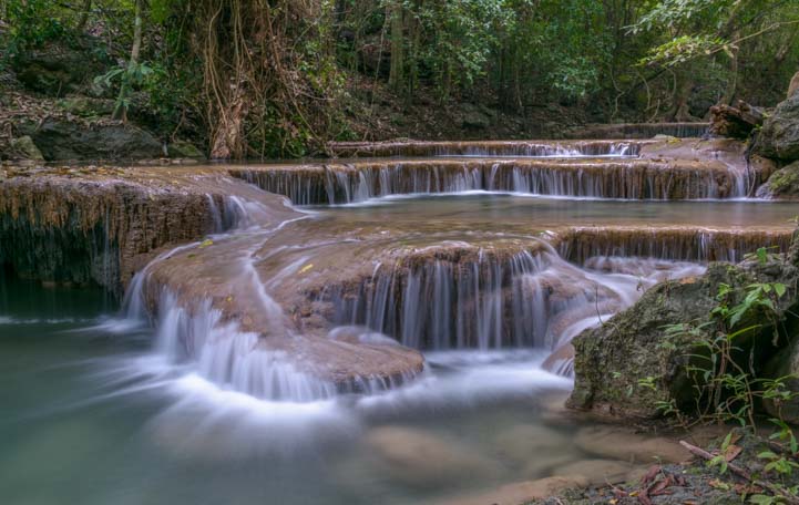
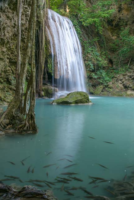
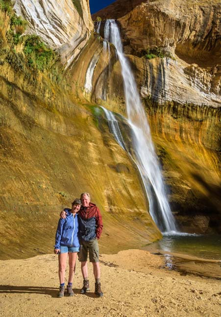
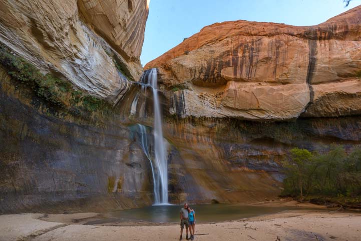
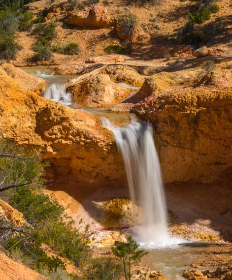
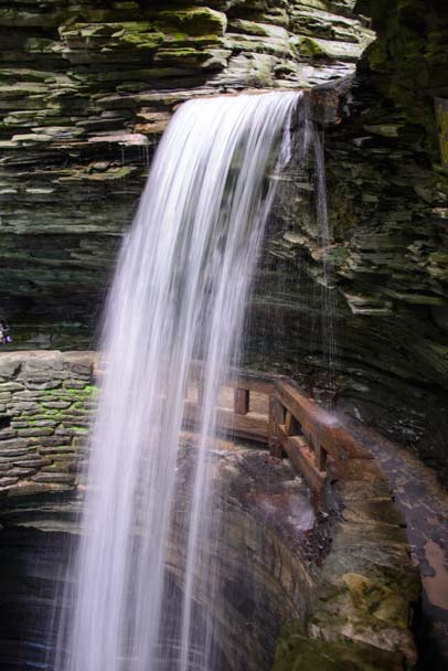
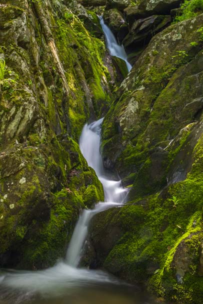
The sounds of the little cascade faded away and were soon replaced with the growing roar of the Fossil Creek Waterfall ahead of us.
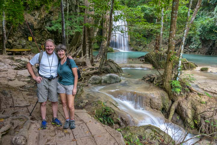
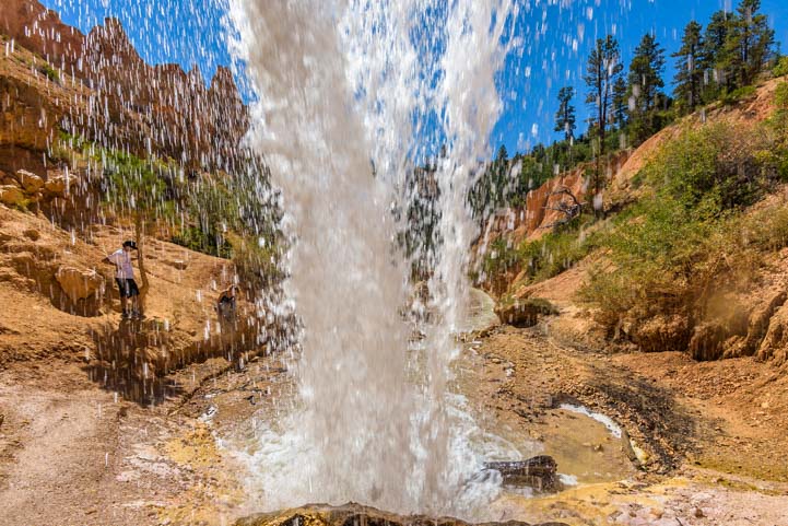
Suddenly, the waterfall came into view. Wow!
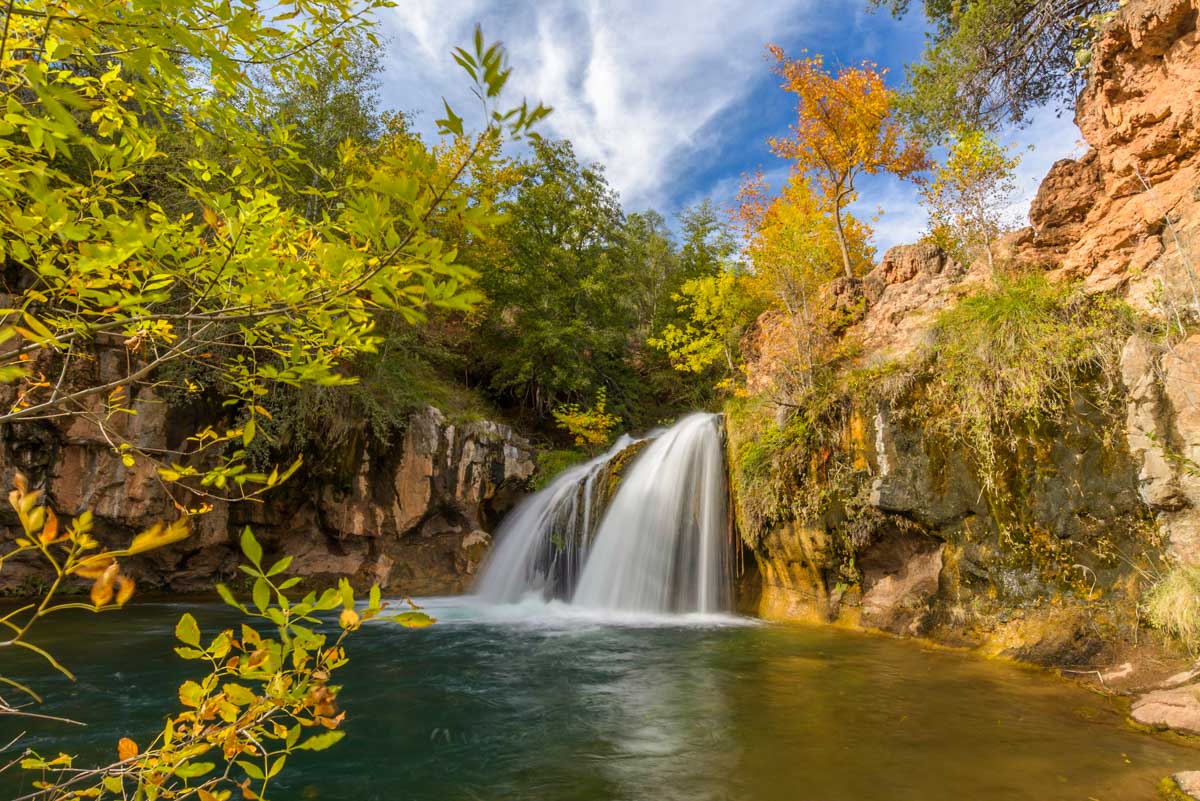
And there it was…beautiful!
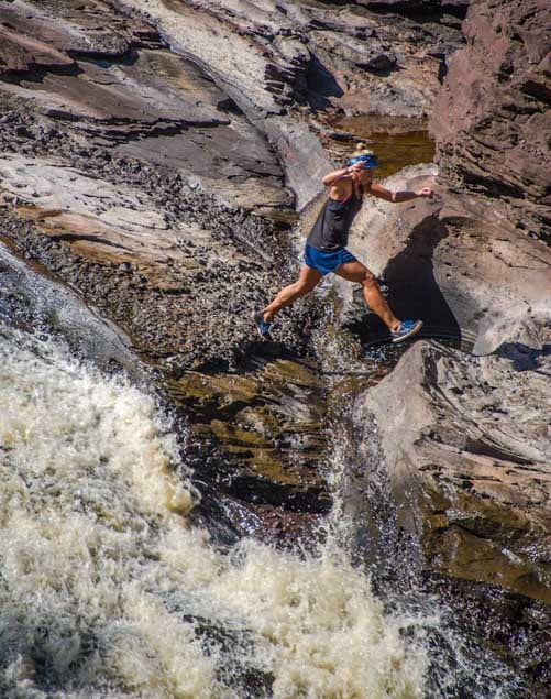
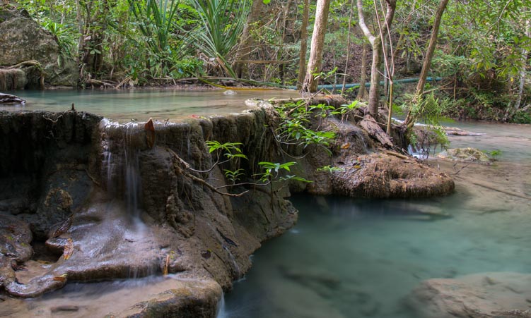
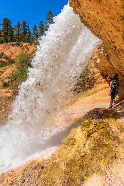
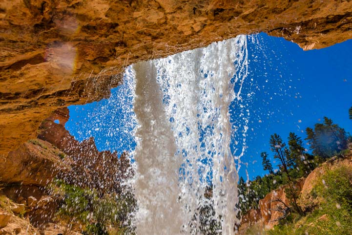
A small group of people arrived shortly after us. Some jumped in the water for a swim and made their way over to the waterfall, clambering up on the rock shelf beneath it and going behind the spray to peek out from behind the wall of water.

Fossil Creek is a popular swimming hole!
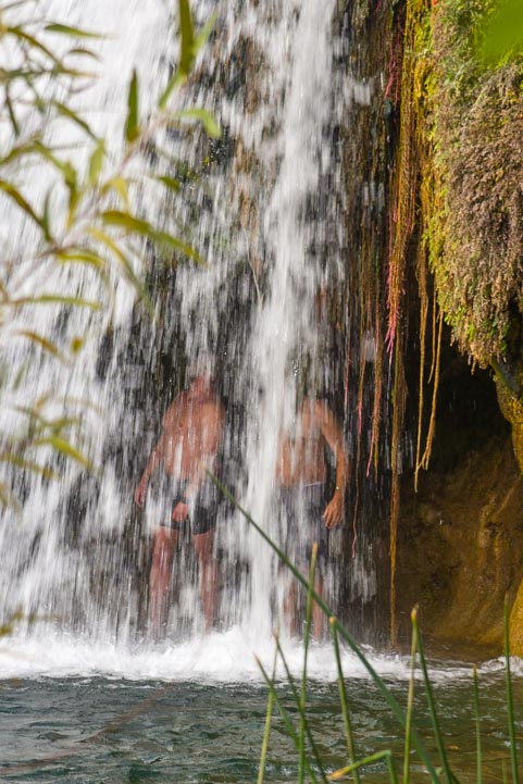
They made it!
We sat down for a while, enjoying the pretty surroundings while hikers and swimmers came and went. We learned that Fossil Creek is so popular in the summertime that you have to get a permit and only a small number of permits are given out each day.
We felt fortunate because it was the off-season and the area had just opened (without fanfare), so we didn’t have to get a permit, and there weren’t any crowds.

Seeing Fossil Creek Waterfall is a great reward at the end of this pretty hike.
If you find yourself in Arizona’s Verde Valley, and Fossil Creek is open, we highly recommend you do the hike to the waterfall!
Subscribe
Never miss a post — it’s free!
More info:
Other blog posts from the Verde Valley area in Arizona:
- Bell Rock Pathway, Sedona AZ – Hiking & Biking the Red Rocks
- Brins Mesa Trail & Unexpected Delights in Sedona Arizona!
- Broken Arrow Trail in Sedona, AZ – What a Hike!
- Cathedral Rock at Red Rock Crossing – Sedona AZ
- Dead Horse Ranch State Park + Tuzigoot and Clarkdale
- Fossil Creek Waterfall – A Pretty Hike to a Scenic Cascade
- Hiking the “Pig Trails” in Sedona, AZ – Breathtaking! (oink oink!)
- Jerome, Arizona – A New Year’s Getaway in the Snow!
- Montezuma’s Castle & Schnebly Hill – Sedona Heights!
- Oh, Sedona – Scenic drives in the red rocks!!
- Sedona Arizona – Brooding Skies at Sunset in the Red Rocks
- Sedona Reflections on the West Fork Trail
- Sedona, Arizona – Great Beer, Coffee, Red Rocks & Psychics!
- The Crack at Wet Beaver Creek (Bell Trail Hike), Sedona, AZ
- Top Sedona AZ Hikes: Little Horse to Chicken Point + Templeton Trail (Cathedral Rock)!
Beautiful waterfalls we’ve seen in our travels:
- Agua Azul & Misol-Ha – Waterfall Adventures in Mexico
- A Jewel of a Waterfall – Great Smoky Mountains National Park
- Waterfalls of the Blue Ridge Parkway (North Carolina)
- Blue Ridge Parkway (Virginia) – Waterfalls & Rhododendrons
- Shenandoah National Park, Virginia – Climbs & Falls!
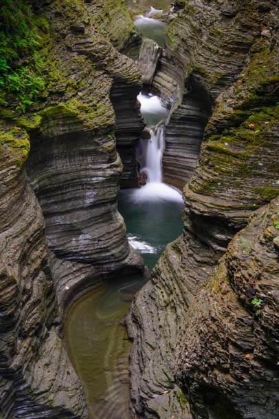
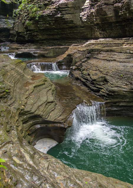
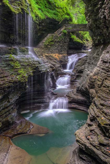
- Waterfalls, Wildlife & Wineries in New York’s Finger Lakes
- Watkins Glen State Park NY – Absolutely Breathtaking!
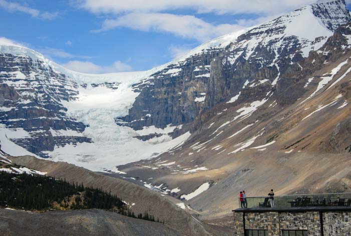
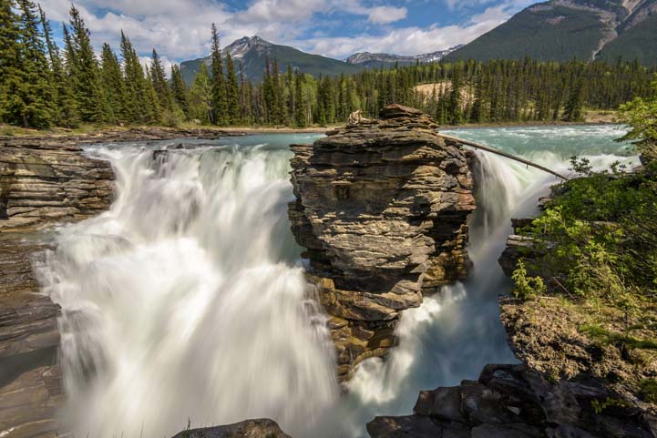
- Jasper National Park – Columbia Icefields & Athabasca Falls
- Bryce Canyon National Park – “Mossy Cave” – Mystery Waterfall!
- Grand Staircase Escalante Nat’l Monument – Lower Calf Creek Falls Hike
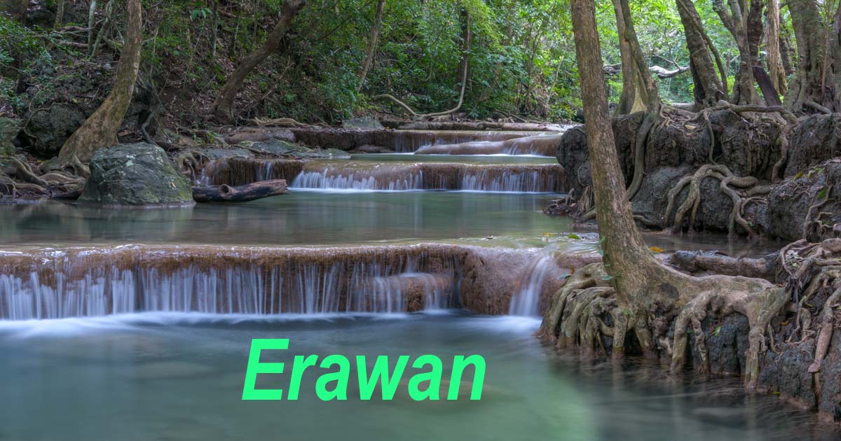
- Erawan Falls – Jewel of Erawan National Park – with Mellow Adventures
- Huay Mae Khamin – Thailand’s Most Beautiful Waterfall – Mellow Adventures
- Waterfalls in Michigan’s U.P. – Tahquamenon, Bond Falls & Black River Jewels
- Fossil Creek Waterfall – A Pretty Hike to a Scenic Cascade
Our most recent posts:
- Buckskin Mountain State Park – Fun on the Colorado River! 01/31/26
- How to Install Starlink Gen 3 in an RV? Use the Speedmount! 08/07/25
- Escape to Paradise – Rocky Mountain Magic! 08/01/25
- Is Forest River a Good RV? Well Built? Here’s Our Experience 06/20/25
- Sunset Crater Nat’l Monument – Lava & Camels at Bonito CG! 06/06/25
More of our Latest Posts are in the MENU.
New to this site?
Visit RVers Start Here to find where we keep all the good stuff. Also check out our COOL NEW GEAR STORE!! *** CLICK HERE *** to see it!
<-Previous || Next->