September 2016 – One of the most beautiful side trips along Utah’s Scenic Byway 12 is another scenic drive that branches off of Route 12 at the small hamlet of Boulder, Utah. Its called the Burr Trail.
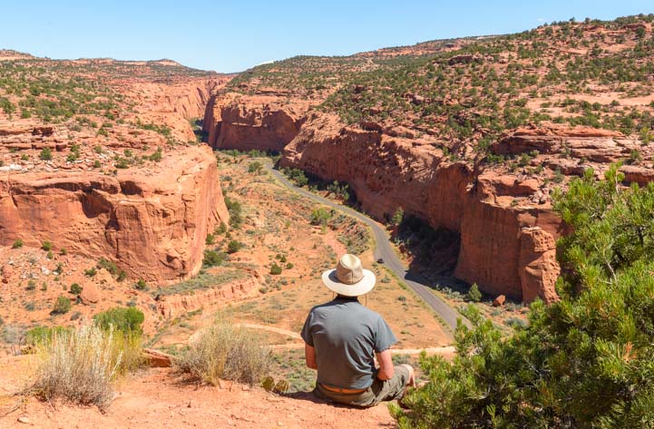
Looking out across the beginning of the Burr Trail
We first heard of this scenic back road from an old rancher who was a retired high school teacher and former football coach in Tropic, Utah, just outside of Bryce Canyon National Park.
As we leaned up against a fence with him, admiring his cows grazing in the distance, and listening to his tales of teaching and coaching back in the 70’s, he suddenly asked us if we’d ever driven the Burr Trail.

The post office in Boulder, Utah, where the Burr Trail begins.
We’d never even heard of it! But the more he talked about it, the more we knew we needed to check it out!
The little village of Boulder, Utah, has just a few buildings in it, so it is easy to drive right through it while barreling along on Scenic Byway 12.
But there’s a little store and an RV park, and there’s a post office that puts the town on the map. The turnoff to the Burr Trail is at the big 90 degree bend in Route 12 right by the Burr Trail Grill.

The Shopping District in Boulder, Utah
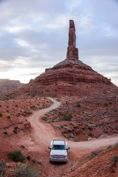
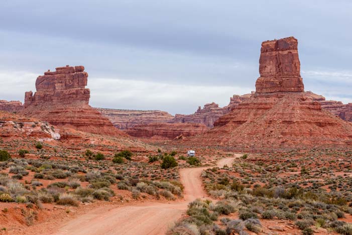
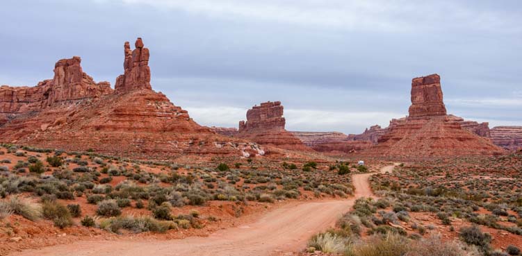
As soon as we drove onto the Burr Trail, the scenery went from ordinary to extraordinary in a matter of minutes.

Heading down the Burr Trail
The road is narrow. It’s fine for passenger vehicles but is not recommended for RVs. We drove it with our truck on a weekday, and during the morning to midday hours we were on our own and didn’t see any other travelers.

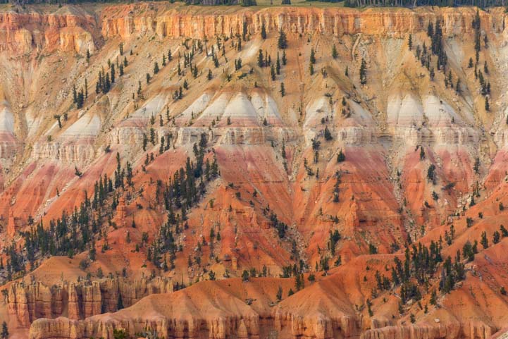
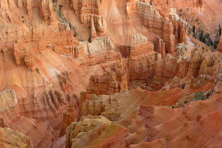
Views along the Burr Trail.
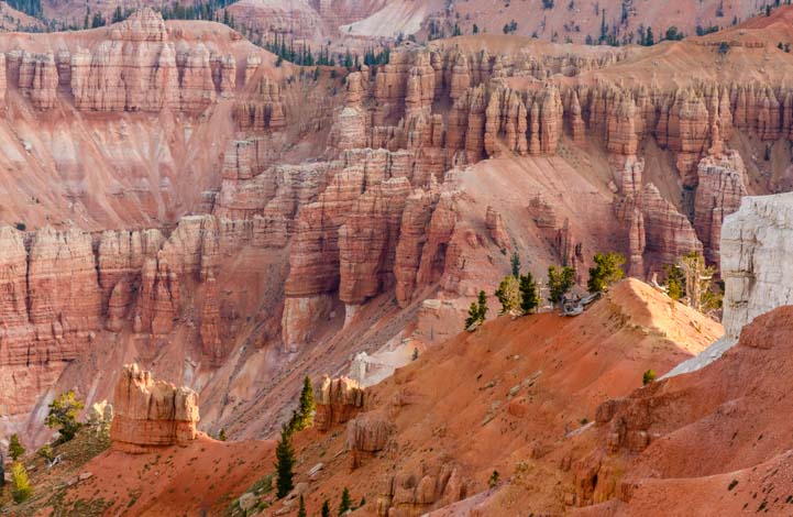
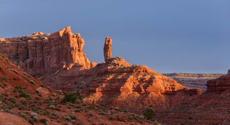
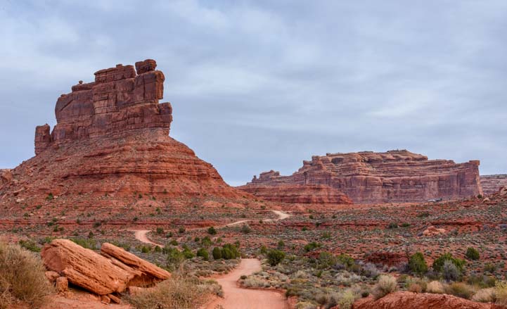
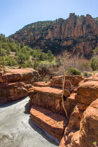
The rock formations became more and more dramatic with each mile that we drove.

Gorgeous views at every turn!

.
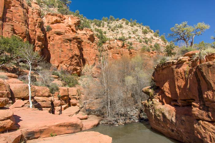
And then the canyon walls began to get very steep on either side of us as we drove down the middle of Long Canyon.

.
The entire Burr Trail is 69 miles from end to end, but only the first 30 miles are paved. So, we drove until the pavement ended and then turned around and came back.

Long Canyon has towering rock cliffs on both sides of the road.
On our way out on the Burr Trail, we had noticed a few cars parked on the side of the road at one spot. On our return trip, we stopped there to see what was going on.
It turned out to be a lovely but very short slot canyon!
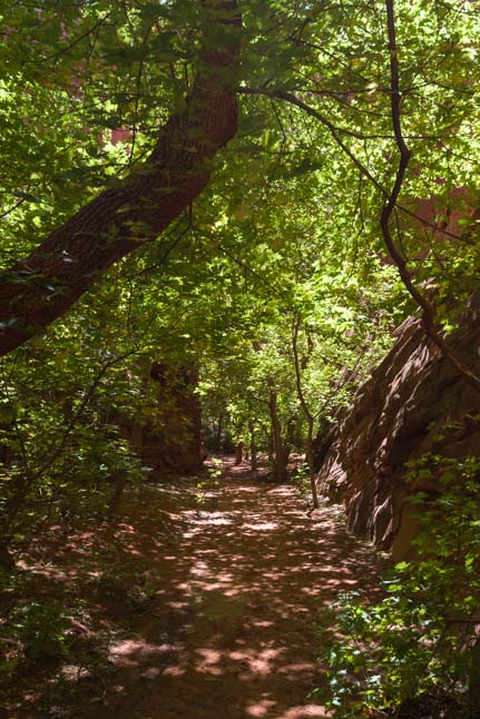
Beautiful shade trees lead to a slot canyon
The first hundred feet or so of the slot canyon had a fantastic canopy of trees covering the trail, providing wonderfully cool shade at midday.

These trees are actually very tall!
Then, after another few paces and a slight turn in the trail, the slot canyon suddenly ended.

End of the trail.
Sometimes this canyon is called the Singing Canyon, and we quickly found out why.
A group of hikers was just coming out of the slot canyon as we approached, and they passed by us on the way to their cars out on the road. When we got to the far back end of the slot, out of sight of the road, the hikers had made it to their cars and were standing around in the road talking with each other.

The sun shines through the slot.
Amazingly, we could hear everything they were saying, as if they were on the opposite side of us, beyond the impenetrable back end of the canyon!
I didn’t believe the sound could bounce around like that at first, but as soon as they drove off in their cars, the echoes of conversation at the back of the canyon fell silent.
Singing indeed. You’ve gotta be careful what you say out loud by the road when your friends head into this slot!
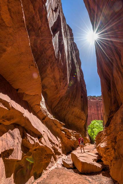
This canyon has incredible echoes!
Here a starburst from the sun dwarfs me… cool!
At the mouth of the sot canyon there are some beautiful red rock formations that beg to be climbed. We obliged, of course!

.
As we were leaving, we spotted the first signs of fall down on the ground. Yellow leaves were lying at the base of the tree trunks here and there.

A golden harbinger of fall.
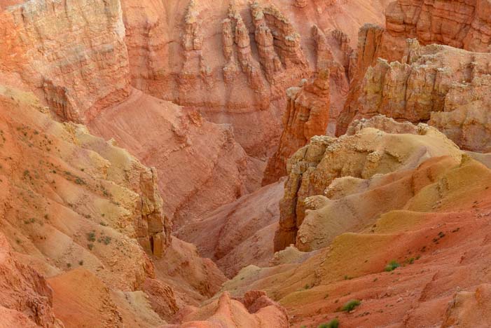
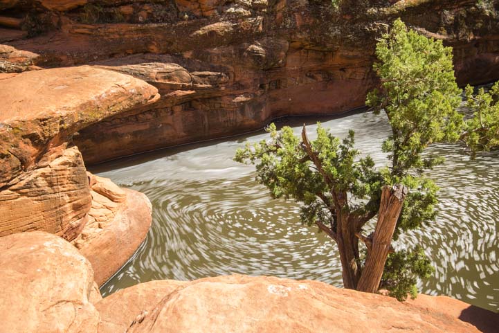
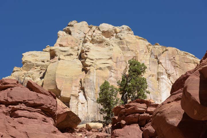
Back out on the Burr Trail, the rock formations were bright white and a rich burgundy red set off by dark green trees.
.
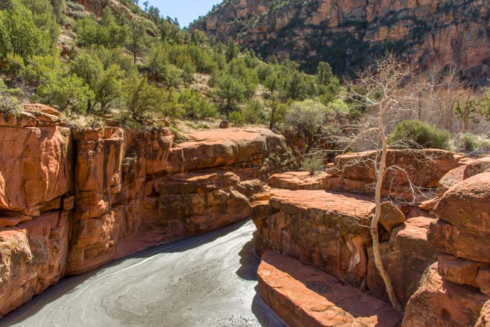
We drove back through Long Canyon and watched in awe as the canyon walls rose up around us once again.

.
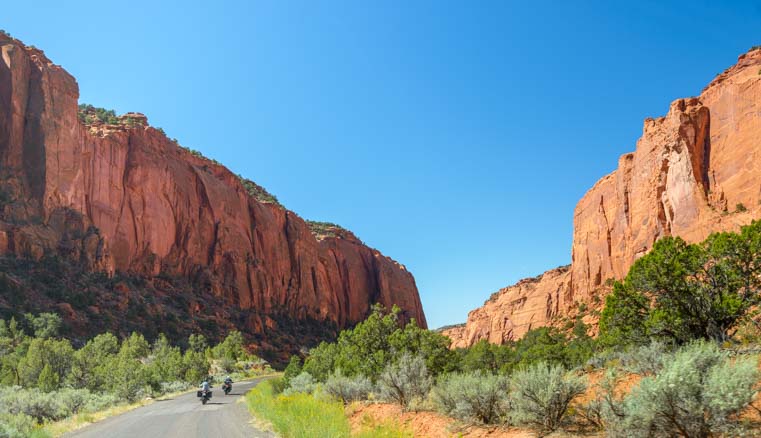
A pair of motorcycles takes in the view.
And then we were back in the open, sweeping vistas of the beginning of the Burr Trail.
What a drive!!

The Burr Trail is a wonderful excursion off of Scenic Byway 12 in Utah.
The Burr Trail is a really easy sidetrip for RVers traveling along Utah’s Scenic Byway 12, and is well worth taking a few hours to do.
Jewels like this are so easy to miss in this part of the world because the bigger, more famous stuff gets all the attention.
Thank goodness we met that old rancher in Bryce Canyon and hung out with him for a while by his fence, chatting about his cows, his former students and his football team, or we never would have learned about this beautiful place!

There are lots of gems for RVers on Utah’s Scenic Byway 12!
Subscribe
Never miss a post — it’s free!
More info about the Burr Trail :
- Burr Trail Info – National Park Service Official Website
- Location of the Burr Trail Road – Interactive Google Maps
- Campgrounds in Grand Staircase Escalante – BLM Official Website
- RV Parks in Torrey, Utah – RV Park Reviews
- RV Parks in Boulder, Utah – RV Park Reviews
Other posts from our RV trips on Utah’s Scenic Byway 12:
- Utah Scenic Byway 24 RV Trip – Capitol Reef National Park 04/16/18
- The Burr Trail – A Fabulous Side Trip on Utah’s Scenic Byway 12 11/15/16
- Grand Staircase Escalante Nat’l Monument – Lower Calf Creek Falls Hike 11/11/16
- Utah Scenic Byway 12 RV Trip – Driving An All American Road! 11/03/16
- Red Canyon Utah and the Bryce Canyon Bike Trail! 10/13/16
- Red Canyon Utah is an Overlooked Treasure 09/02/11
- Zion NP, Kodachrome Basin & Snow Canyon, UT – Great Red Rocks! 10/31/07
Blog posts from nearby Bryce Canyon National Park:
- Bryce Canyon in Winter – Snow and Lace on the Red Rock Spires! 01/25/19
- Spring in Sarasota FL + Bryce Canyon’s Night Skies – in Trailer Life 04/04/17
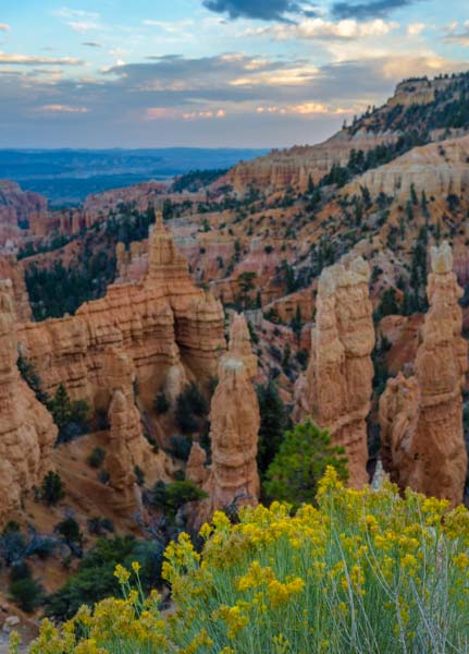
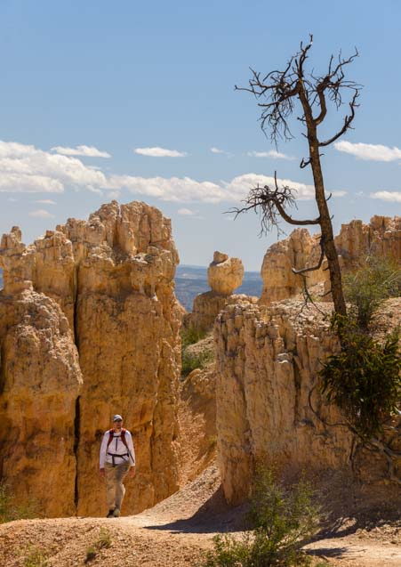
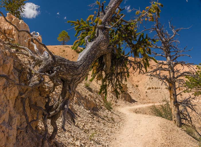
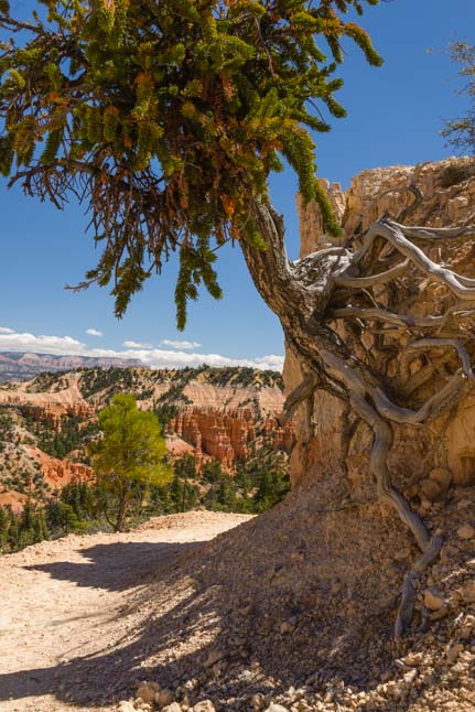
- Bryce Canyon – Rainbow Point – Bristlecone Pines and Sweeping Vistas 11/01/16
- Bryce Canyon National Park – “Mossy Cave” – Mystery Waterfall! 10/18/16
- Red Canyon Utah and the Bryce Canyon Bike Trail! 10/13/16
- Bryce Canyon Gone Wild – Tempests, Rainbows & Wildlife 10/09/16
- Bryce Canyon National Park – Fairyland Trail – A Beautiful Hike! 10/02/16
- Bryce Canyon – Hiking The Rim & Navajo Loop + A Tourist Time-lapse! 09/29/16
- Bryce Canyon National Park – Inspiration Point – OMG! 09/27/16
- Bryce Canyon, UT – Fairyland of Pink Turrets 08/25/08
Our most recent posts:
- Buckskin Mountain State Park – Fun on the Colorado River! 01/31/26
- How to Install Starlink Gen 3 in an RV? Use the Speedmount! 08/07/25
- Escape to Paradise – Rocky Mountain Magic! 08/01/25
- Is Forest River a Good RV? Well Built? Here’s Our Experience 06/20/25
- Sunset Crater Nat’l Monument – Lava & Camels at Bonito CG! 06/06/25
More of our Latest Posts are in the MENU.
New to this site? Visit RVers Start Here to find where we keep all the good stuff!!
<-Previous || Next->